
File:Invercargill.png
本预览的尺寸:460 × 599像素。 其他分辨率:184 × 240像素 | 520 × 677像素。
原始文件 (520 × 677像素,文件大小:11 KB,MIME类型:image/png)
摘要
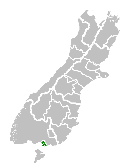
| 描述 | Map of South Island showing location of Invercargill Territorial Authority. |
| 日期 | |
| 来源 | Own work of author |
| 作者 | en:User:Furius |
许可协议
| |
本作品已被作者中文维基百科项目的Furius释出到公有领域。这适用于全世界。 如果这样做不合法的话: |
文件历史
点击某个日期/时间查看对应时刻的文件。
| 日期/时间 | 缩略图 | 大小 | 用户 | 备注 | |
|---|---|---|---|---|---|
| 当前 | 2008年1月31日 (四) 16:12 | | 520 × 677(11 KB) | Andy king50 | {{PD-user-w|en|English Wikipedia|Furius}} {{Information |Description=Map of South Island showing location of Invercargill Territorial Authority. |Source=Own work of author |Date=8 December 2006 |Author=en:User:Furius |other_versions= }} |
文件用途
以下页面使用本文件:
全域文件用途
以下其他wiki使用此文件:
- ar.wikipedia.org上的用途
- arz.wikipedia.org上的用途
- ca.wikipedia.org上的用途
- en.wikipedia.org上的用途
- eo.wikipedia.org上的用途
- es.wikipedia.org上的用途
- eu.wikipedia.org上的用途
- fa.wikipedia.org上的用途
- fr.wikipedia.org上的用途
- fy.wikipedia.org上的用途
- ga.wikipedia.org上的用途
- gl.wikipedia.org上的用途
- it.wikipedia.org上的用途
- ja.wikipedia.org上的用途
- la.wikipedia.org上的用途
- ms.wikipedia.org上的用途
- nn.wikipedia.org上的用途
- pt.wikipedia.org上的用途
- ro.wikipedia.org上的用途
- simple.wikipedia.org上的用途
- sw.wikipedia.org上的用途
- th.wikipedia.org上的用途
- tr.wikipedia.org上的用途
- uk.wikipedia.org上的用途
- ur.wikipedia.org上的用途
- vi.wikipedia.org上的用途
- vo.wikipedia.org上的用途
- www.wikidata.org上的用途