
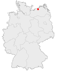
File:Karte Rostock in Deutschland.png
此为最大尺寸。
Karte_Rostock_in_Deutschland.png (188 × 235像素,文件大小:3 KB,MIME类型:image/png)
摘要
许可协议
This image was generated with OpenGeoDB. The information there is placed in the public domain, images generated from OpenGeoDB are derivative works without passing the threshold of creativity, they are therefore also public domain.
| 此作品不具有版权,属于公有领域,因为其所包含之内容均为公共财产且没有明确的原始作者信息。 |
文件历史
点击某个日期/时间查看对应时刻的文件。
| 日期/时间 | 缩略图 | 大小 | 用户 | 备注 | |
|---|---|---|---|---|---|
| 当前 | 2006年5月24日 (三) 19:11 | | 188 × 235(3 KB) | Jed | Category:Maps of Mecklenburg-Western Pomerania |
文件用途
没有页面链接到本图像。
全域文件用途
以下其他wiki使用此文件: