
File:Maldives Approach Finals - Rwy 36 Short Finals 1.jpg
本预览的尺寸:800 × 600像素。 其他分辨率:320 × 240像素 | 640 × 480像素 | 1,024 × 768像素。
原始文件 (1,024 × 768像素,文件大小:71 KB,MIME类型:image/jpeg)
摘要
| 描述 |
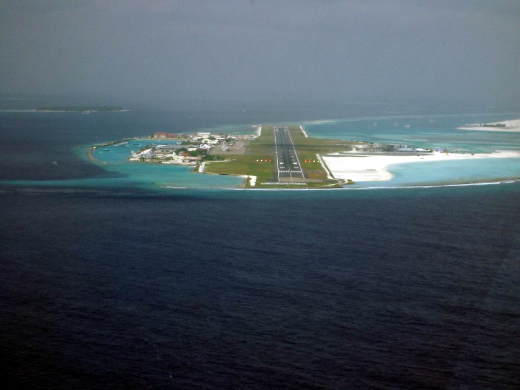
Français : Vue de l'aéroport international de Malé depuis un avion se dirigeant vers la piste d'atterrissage
English: Aerial view of Malé International Airport (VRMM), in the direction of Runway 36 |
| 日期 | |
| 来源 | 自己的作品 |
| 作者 | PalawanOz |
| 相机位置 | | 在以下服务上查看本图像和附近其他图像: OpenStreetMap |
|---|
许可协议
| 我,本作品著作权人,释出本作品至公有领域。这适用于全世界。 在一些国家这可能不合法;如果是这样的话,那么: 我无条件地授予任何人以任何目的使用本作品的权利,除非这些条件是法律规定所必需的。 |
文件历史
点击某个日期/时间查看对应时刻的文件。
| 日期/时间 | 缩略图 | 大小 | 用户 | 备注 | |
|---|---|---|---|---|---|
| 当前 | 2008年11月16日 (日) 11:15 | | 1,024 × 768(71 KB) | PalawanOz | {{Information |Description={{en|1=Aerial view of Malé International Airport (VRMM), in the direction of Runway 36}} |Source=Own work by uploader |Author=PalawanOz |Date=2003 |Permission= |other_versions= }} {{Coor dms|4|10|10.5|N|73|31 |
文件用途
以下页面使用本文件:
全域文件用途
以下其他wiki使用此文件:
- arz.wikipedia.org上的用途
- es.wikipedia.org上的用途
- et.wikipedia.org上的用途
- fa.wikipedia.org上的用途
- fi.wikipedia.org上的用途
- fr.wikipedia.org上的用途
- id.wikipedia.org上的用途
- it.wikipedia.org上的用途
- ja.wikipedia.org上的用途
- min.wikipedia.org上的用途
- nl.wikipedia.org上的用途
- pt.wikipedia.org上的用途
- ru.wikipedia.org上的用途
- sk.wikipedia.org上的用途
- tg.wikipedia.org上的用途