
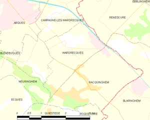
File:Map commune FR insee code 62875.png

原始文件 (756 × 605像素,文件大小:37 KB,MIME类型:image/png)
摘要
| 描述 | Map commune FR insee code 62875.png | |
| 日期 | ||
| 来源 | derived work, see author details | |
| 作者 |
|
_French_municipality_map.svg)
许可协议
文件历史
点击某个日期/时间查看对应时刻的文件。
| 日期/时间 | 缩略图 | 大小 | 用户 | 备注 | |
|---|---|---|---|---|---|
| 当前 | 2012年5月30日 (三) 20:17 | | 756 × 605(37 KB) | RobotMichiel1972 |
文件用途
以下页面使用本文件:
全域文件用途
以下其他wiki使用此文件:
- ar.wikipedia.org上的用途
- arz.wikipedia.org上的用途
- ast.wikipedia.org上的用途
- ca.wikipedia.org上的用途
- diq.wikipedia.org上的用途
- es.wikipedia.org上的用途
- eu.wikipedia.org上的用途
- la.wikipedia.org上的用途
- nl.wikipedia.org上的用途
- ro.wikipedia.org上的用途
- sk.wikipedia.org上的用途
- sv.wikipedia.org上的用途
- tt.wikipedia.org上的用途
- www.wikidata.org上的用途
- zh-min-nan.wikipedia.org上的用途