
File:Saare municipalities 1999–2014.png

本预览的尺寸:594 × 600像素。 其他分辨率:238 × 240像素 | 476 × 480像素 | 972 × 981像素。
原始文件 (972 × 981像素,文件大小:78 KB,MIME类型:image/png)


文件历史
点击某个日期/时间查看对应时刻的文件。
| 日期/时间 | 缩略图 | 大小 | 用户 | 备注 | |
|---|---|---|---|---|---|
| 当前 | 2019年1月25日 (五) 18:09 | | 972 × 981(78 KB) | Risto est | Conformity with other similar images |
| 2017年11月24日 (五) 20:58 |  | 702 × 481(162 KB) | NordNordWest | Reverted to version as of 12:35, 3 May 2013 (UTC); back to cropped version | |
| 2017年11月9日 (四) 14:15 |  | 1,056 × 816(38 KB) | RoMex | Reverted to version as of 19:30, 8 January 2007 (UTC), This map now illustrates historic municipal divisions prior to the 2017 reform. | |
| 2014年12月17日 (三) 14:38 |  | 957 × 655(49 KB) | Pikne | update | |
| 2013年5月3日 (五) 12:35 |  | 702 × 481(162 KB) | P. S. Burton | ||
| 2007年1月8日 (一) 19:30 |  | 1,056 × 816(38 KB) | Rarelibra | Updated map due to 2006 changes. | |
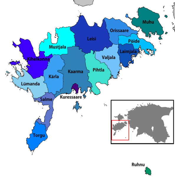
| 2006年12月22日 (五) 17:35 |  | 1,056 × 816(39 KB) | Rarelibra | Map of the municipalities of Saare county in Estonia. Created by ~~~~ for public domain use, using MapInfo Professional v8.5 and various mapping resources. |
文件用途
没有页面链接到本图像。
全域文件用途
以下其他wiki使用此文件:
- ar.wikipedia.org上的用途
- ba.wikipedia.org上的用途
- cs.wikipedia.org上的用途
- de.wikipedia.org上的用途
- en.wikipedia.org上的用途
- es.wikipedia.org上的用途
- et.wikipedia.org上的用途
- fi.wikipedia.org上的用途
- fr.wikipedia.org上的用途
- he.wikipedia.org上的用途
- ka.wikipedia.org上的用途
- lt.wikipedia.org上的用途
- nl.wikipedia.org上的用途
- nn.wikipedia.org上的用途
- no.wikipedia.org上的用途
- pt.wikipedia.org上的用途
- ro.wikipedia.org上的用途
- ru.wikipedia.org上的用途
- sco.wikipedia.org上的用途
- sr.wikipedia.org上的用途
- sv.wikipedia.org上的用途
- uk.wikipedia.org上的用途