
File:USACE New Orleans skyline.jpg

本预览的尺寸:800 × 534像素。 其他分辨率:320 × 214像素 | 640 × 428像素 | 1,024 × 684像素 | 1,500 × 1,002像素。
原始文件 (1,500 × 1,002像素,文件大小:314 KB,MIME类型:image/jpeg)
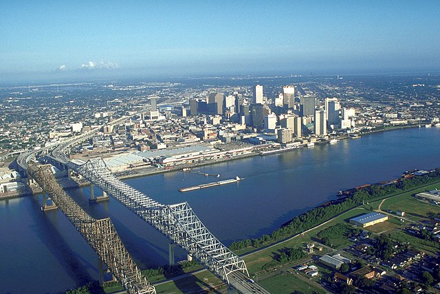
| 描述 | Skyline of New Orleans, Louisiana, USA. The twin spans of the Crescent City Connection bridges are in the foreground. | |||
| 日期 | ||||
| 来源 |
U.S. Army Corp of Engineers Digital Visual Library Digital Visual Library home page Image page Image description page |
|||
| 作者 | Michael Maples, U.S. Army Corps of Engineers | |||
| 授权 (二次使用本文件) |
|
|||
| 其他版本 |
|

| 相机位置 | | 在以下服务上查看本图像和附近其他图像: OpenStreetMap |
|---|
文件历史
点击某个日期/时间查看对应时刻的文件。
| 日期/时间 | 缩略图 | 大小 | 用户 | 备注 | |
|---|---|---|---|---|---|
| 当前 | 2007年3月14日 (三) 03:55 | | 1,500 × 1,002(314 KB) | DanMS | {{Information | Description = Skyline of New Orleans, Louisiana, USA. | Source = U.S. Army Corp of Engineers Digital Visual Library<br />[http://images.usace.army.mil/Main.html Digital Visual Library home page]<br />[http://images.usace.army.mil/imag |
文件用途
以下页面使用本文件:
全域文件用途
以下其他wiki使用此文件:
- bg.wikipedia.org上的用途
- bn.wikipedia.org上的用途
- de.wikipedia.org上的用途
- en.wikipedia.org上的用途
- es.wikipedia.org上的用途
- es.wikinews.org上的用途
- ext.wikipedia.org上的用途
- fa.wikipedia.org上的用途
- fr.wikipedia.org上的用途
- it.wikiquote.org上的用途
- it.wikivoyage.org上的用途
- nl.wikipedia.org上的用途