
File:BelfastWestConstituency.svg

此SVG文件的PNG预览的大小:736 × 600像素。 其他分辨率:295 × 240像素 | 589 × 480像素 | 942 × 768像素 | 1,256 × 1,024像素 | 2,513 × 2,048像素 | 779 × 635像素。
原始文件 (SVG文件,尺寸为779 × 635像素,文件大小:135 KB)
文件历史
点击某个日期/时间查看对应时刻的文件。
| 日期/时间 | 缩略图 | 大小 | 用户 | 备注 | |
|---|---|---|---|---|---|
| 当前 | 2017年5月14日 (日) 11:11 | | 779 × 635(135 KB) | FlyingChrysalis | Current (2008) boundaries with old colours. Derived from File:United Kingdom general election, 2015 (Northern Ireland).svg |
| 2017年5月12日 (五) 17:11 |  | 650 × 520(150 KB) | FlyingChrysalis | Colours and 2010 boundaries | |
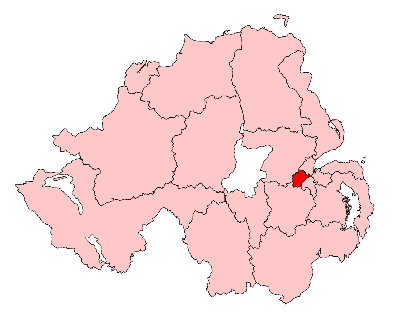
| 2007年4月1日 (日) 14:13 |  | 280 × 225(87 KB) | Wereon | Map of the UK Parliament constituency of Belfast West within Northern Ireland. Category:Maps of Parliamentary constituencies in Northern Ireland |
.svg)
文件用途
以下页面使用本文件:
全域文件用途
以下其他wiki使用此文件:
- de.wikipedia.org上的用途
- en.wikipedia.org上的用途
- Belfast West (UK Parliament constituency)
- List of parliamentary constituencies in Northern Ireland
- Belfast West (Assembly constituency)
- 5th Northern Ireland Assembly
- 6th Northern Ireland Assembly
- User:FlyingChrysalis/sandbox/For 5th NI Assembly
- User:FlyingChrysalis/sandbox/For 6th NI Assembly
- User:JamesHawkes0161/sandbox
- 7th Northern Ireland Assembly
- fr.wikipedia.org上的用途
- it.wikipedia.org上的用途
- pl.wikipedia.org上的用途
- simple.wikipedia.org上的用途