
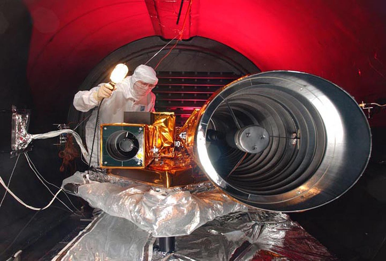
File:Deep Impact HRI tests.jpg

本预览的尺寸:800 × 540像素。 其他分辨率:320 × 216像素 | 640 × 432像素 | 1,024 × 691像素 | 1,280 × 864像素 | 3,000 × 2,025像素。
原始文件 (3,000 × 2,025像素,文件大小:370 KB,MIME类型:image/jpeg)
| 描述 |
|
| 日期 | 在2005年1月10日之前 |
| 来源 | |
| 作者 | NASA |
本图像或视频收录于美国国家航空航天局 (NASA)肯尼迪太空中心(Kennedy Space Center),其照片编号是: KSC-05PD-0115 以及Alternate ID: 05pd0115 此标签不表示文件的著作权状态。任何文件在附有此标签的同時还需要一个有效的著作权标签。请参阅许可协议说明页面以了解更多信息。 其他语言:
|
| 相机位置 | | 在以下服务上查看本图像和附近其他图像: OpenStreetMap |
|---|
| 本文件完全由NASA创作,在美国属于公有领域。根据NASA的版权方针,NASA的材料除非另有声明否则不受版权保护。(参见Template:PD-USGov/zh、NASA版权方针页面或JPL图片使用方针。) | ||
 |
警告:
|
文件历史
点击某个日期/时间查看对应时刻的文件。
| 日期/时间 | 缩略图 | 大小 | 用户 | 备注 | |
|---|---|---|---|---|---|
| 当前 | 2005年7月9日 (六) 22:09 | | 3,000 × 2,025(370 KB) | Bricktop |
文件用途
以下页面使用本文件:
全域文件用途
以下其他wiki使用此文件:
- de.wikipedia.org上的用途
- en.wikipedia.org上的用途
- id.wikipedia.org上的用途
- pl.wikipedia.org上的用途
- sk.wikipedia.org上的用途
- sv.wikipedia.org上的用途
- tr.wikipedia.org上的用途