
File:EWR Airport Diagram.svg

此SVG文件的PNG预览的大小:378 × 548像素。 其他分辨率:165 × 240像素 | 331 × 480像素 | 530 × 768像素 | 706 × 1,024像素 | 1,413 × 2,048像素。
原始文件 (SVG文件,尺寸为378 × 548像素,文件大小:874 KB)
摘要
| 描述 |
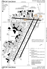
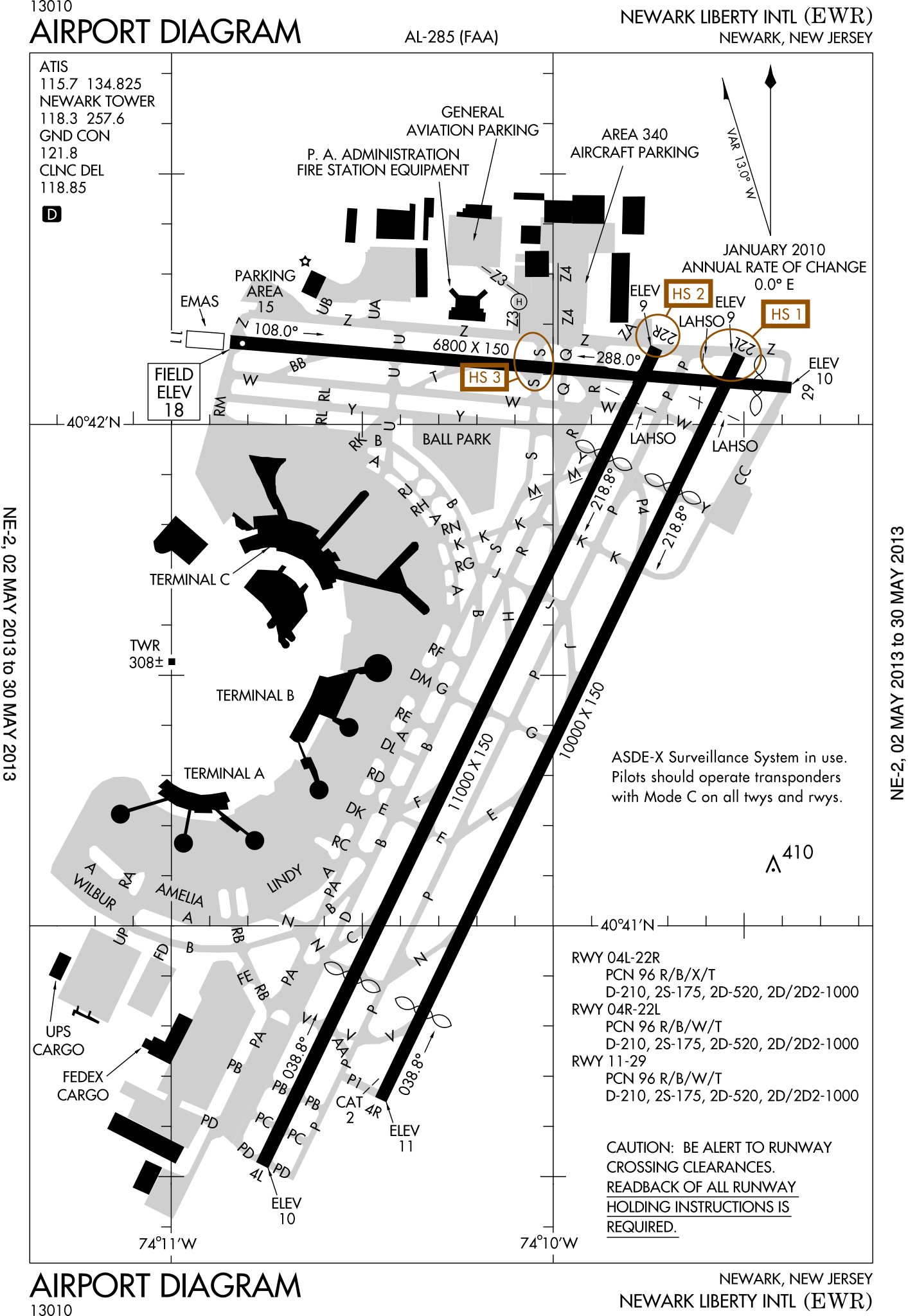
English: FAA Airport Diagram of Newark Liberty International Airport. |
| 日期 | |
| 来源 |
FAA Airport Diagrams; note that these change every 28 days. Taken from PDF on FAA site and converted to SVG using en:Wikipedia:How to draw SVG circuits using Xcircuit. |
| 作者 | Produced by the National Aeronautical Charting Office (NACO), a department of the United States en:Federal Aviation Administration. |
| 相机位置 | | 在以下服务上查看本图像和附近其他图像: OpenStreetMap |
|---|
W3C-validity not checked.
许可协议
|
|
 |
文件历史
点击某个日期/时间查看对应时刻的文件。
| 日期/时间 | 缩略图 | 大小 | 用户 | 备注 | |
|---|---|---|---|---|---|
| 当前 | 2013年5月2日 (四) 13:23 | | 378 × 548(874 KB) | Grendelkhan | SVG version of FAA's PDF diagram. |
文件用途
没有页面链接到本图像。
全域文件用途
以下其他wiki使用此文件:
- da.wikipedia.org上的用途
- de.wikipedia.org上的用途
- en.wikipedia.org上的用途
- fi.wikipedia.org上的用途
- fr.wikipedia.org上的用途
- he.wikipedia.org上的用途
- id.wikipedia.org上的用途
- ja.wikipedia.org上的用途
- mr.wikipedia.org上的用途
- no.wikipedia.org上的用途
- pl.wikipedia.org上的用途
- ru.wikipedia.org上的用途
- sv.wikipedia.org上的用途
- th.wikipedia.org上的用途