
File:Moldova location map.svg

此SVG文件的PNG预览的大小:488 × 600像素。 其他分辨率:195 × 240像素 | 390 × 480像素 | 625 × 768像素 | 833 × 1,024像素 | 1,666 × 2,048像素 | 990 × 1,217像素。
原始文件 (SVG文件,尺寸为990 × 1,217像素,文件大小:87 KB)
摘要
| 描述 |
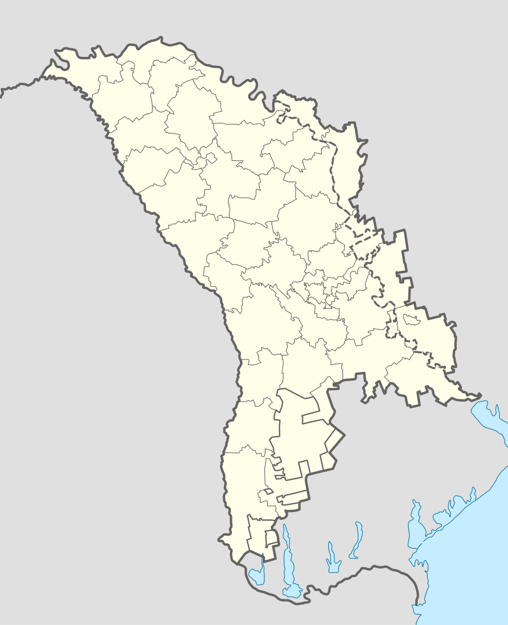
Deutsch: Positionskarte von Moldawien
Quadratische Plattkarte, N-S-Streckung 140 %. Geographische Begrenzung der Karte:
English: Location map of Moldova
Equirectangular projection, N/S stretching 140 %. Geographic limits of the map:
|
| 日期 | |
| 来源 | own work, using World Data Base II data |
| 作者 | NordNordWest |
| 其他版本 | Zone de opratii raioane RM.svg |

|
|
许可协议
我,本作品著作权人,特此采用以下许可协议发表本作品:

|
已授权您依据自由软件基金会发行的无固定段落及封面封底文字(Invariant Sections, Front-Cover Texts, and Back-Cover Texts)的GNU自由文件许可协议1.2版或任意后续版本的条款,复制、传播和/或修改本文件。该协议的副本请见“GNU Free Documentation License”。 |
本文件采用知识共享署名-相同方式共享 3.0 未本地化版本许可协议授权。
- 您可以自由地:
- 共享 – 复制、发行并传播本作品
- 修改 – 改编作品
- 惟须遵守下列条件:
- 署名 – 您必须对作品进行署名,提供授权条款的链接,并说明是否对原始内容进行了更改。您可以用任何合理的方式来署名,但不得以任何方式表明许可人认可您或您的使用。
- 相同方式共享 – 如果您再混合、转换或者基于本作品进行创作,您必须以与原先许可协议相同或相兼容的许可协议分发您贡献的作品。
您可以选择您需要的许可协议。
文件历史
点击某个日期/时间查看对应时刻的文件。
| 日期/时间 | 缩略图 | 大小 | 用户 | 备注 | |
|---|---|---|---|---|---|
| 当前 | 2012年11月17日 (六) 13:40 | | 990 × 1,217(87 KB) | NordNordWest | upd |
| 2012年11月17日 (六) 11:34 |  | 990 × 1,217(82 KB) | NordNordWest | Reverted to version as of 18:58, 17 April 2011 | |
| 2012年11月17日 (六) 10:00 |  | 512 × 512(133 KB) | Spiridon Ion Cepleanu | Real limits of Transnistria (with parts of Anenii Noi & Causeni rayons on the south side of Dniestr) and rayons of Transnistria (de jure, rayons of Moldova). | |
| 2012年11月17日 (六) 09:57 |  | 512 × 512(133 KB) | Spiridon Ion Cepleanu | Real limits of Transnistria (with parts of Anenii Noi & Causeni rayons on the south side of Dniestr) and rayons of Transnistria (de jure, rayons of Moldova). | |
| 2011年4月17日 (日) 18:58 |  | 990 × 1,217(82 KB) | NordNordWest | upd | |
| 2008年8月29日 (五) 08:30 |  | 992 × 1,217(146 KB) | NordNordWest | ||
| 2008年7月17日 (四) 18:56 |  | 331 × 406(144 KB) | NordNordWest | ||
| 2008年7月16日 (三) 19:37 |  | 331 × 406(144 KB) | NordNordWest | ||
| 2008年7月16日 (三) 19:37 |  | 331 × 406(144 KB) | NordNordWest | ||
| 2008年7月16日 (三) 19:31 |  | 331 × 406(144 KB) | NordNordWest | {{Information |Description= {{de|Positionskarte von Moldawien}} Quadratische Plattkarte, N-S-Streckung 140 %. Geographische Begrenzung der Karte: * N: 48.7° N * S: 45.1° N * W: 26.3° O * O: 30.4° O {{en|Location map of [[:en:Moldova| |
文件用途
以下16个页面使用本文件:
全域文件用途
以下其他wiki使用此文件:
- af.wikipedia.org上的用途
- ar.wikipedia.org上的用途
- be-tarask.wikipedia.org上的用途
- Кішынёў
- Тыраспаль
- Бэлц
- Рашкаў
- Шаблён:Лякалізацыйная мапа Малдовы
- Рыбніца (Малдова)
- Сарока (Малдова)
- Дубасары
- Слабазія
- Бэндэры
- Днястроўск
- Грыгарыёпаль
- Кагул
- Унгень
- Архэй
- Стрэшэнь
- Кэўшэнь
- Дрокія
- Адзінцы
- Дурлэшць
- Хынчэшць
- Ялавэнь
- Фэлэшць
- Кэлэраш
- Кодру
- Тараклія
- Фларэшць
- Сынджэрэй
- Чымішлія
- Ніспарэнь
- Бэсарабка
- Рышкань
- Гладзяны
- Каменка (Малдова)
- Рэзіна
- Леова
- Камрат
- Чадыр-Лунга
- Вулкэнэшць
- Бакэў
- Баташань
- Баланэшць
- Эйфэлевы мост (Унгень)
- Брычаны
- Дандушэнь
- Кантэмір (горад)
- be.wikipedia.org上的用途
查看本文件的更多全域用途。