
File:Quinara sectors.png
本预览的尺寸:738 × 599像素。 其他分辨率:296 × 240像素 | 591 × 480像素 | 948 × 770像素。
原始文件 (948 × 770像素,文件大小:28 KB,MIME类型:image/png)
摘要
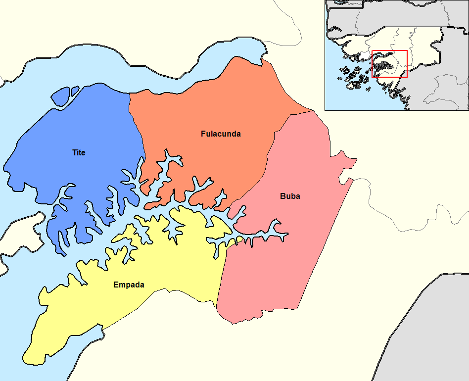
Map of the sectors of Quinara region of Guinea-Bissau. Created by Rarelibra 14:49, 14 September 2006 (UTC) for public domain use, using MapInfo Professional v9.5 and various mapping resources.
许可协议
| 本作品已被作者英语维基百科的Rarelibra释出到公有领域。这适用于全世界。 在一些国家这可能不合法;如果是这样的话,那么: Rarelibra无条件地授予任何人以任何目的使用本作品的权利,除非这些条件是法律规定所必需的。 |
文件历史
点击某个日期/时间查看对应时刻的文件。
| 日期/时间 | 缩略图 | 大小 | 用户 | 备注 | |
|---|---|---|---|---|---|
| 当前 | 2015年8月19日 (三) 09:36 | | 948 × 770(28 KB) | Naturals | colors |
| 2008年1月5日 (六) 10:33 |  | 1,056 × 816(33 KB) | Francofranco56 | == Summary == Map of the sectors of Quinara region of Guinea-Bissau. Created by Rarelibra 14:49, 14 September 2006 (UTC) for public domain use, using MapInfo Professional v9.5 and various mapping resources. == Licensing == {{PD-self}} |
文件用途
以下页面使用本文件:
全域文件用途
以下其他wiki使用此文件:
- ca.wikipedia.org上的用途
- cs.wikipedia.org上的用途
- de.wikipedia.org上的用途
- en.wikipedia.org上的用途
- es.wikipedia.org上的用途
- fi.wikipedia.org上的用途
- frr.wikipedia.org上的用途
- fr.wikipedia.org上的用途
- it.wikipedia.org上的用途
- ja.wikipedia.org上的用途
- ko.wikipedia.org上的用途
- lb.wikipedia.org上的用途
- lt.wikipedia.org上的用途
- nl.wikipedia.org上的用途
- pt.wikipedia.org上的用途
- ro.wikipedia.org上的用途
- ru.wikipedia.org上的用途
- sv.wikipedia.org上的用途
- tr.wikipedia.org上的用途