
File:UEFA Euro 2012 en.svg

原始文件 (SVG文件,尺寸为1,000 × 639像素,文件大小:178 KB)
摘要
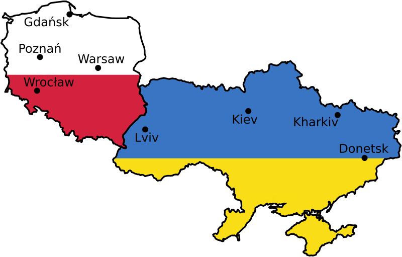
| 描述 | Euro 2012 venues, based on UN East Europe map. | |||||
| 日期 | 2004, April 2007 | |||||
| 来源 | [1] | |||||
| 作者 | United Nations Cartographic Section, Alex Khristov. | |||||
| 授权 (二次使用本文件) |
|
|||||
| 其他版本 |
[]
|


文件历史
点击某个日期/时间查看对应时刻的文件。
| 日期/时间 | 缩略图 | 大小 | 用户 | 备注 | |
|---|---|---|---|---|---|
| 当前 | 2009年10月11日 (日) 07:25 | | 1,000 × 639(178 KB) | Sliwers | Only cities that have been selected or may be selected. |
| 2007年4月22日 (日) 11:48 |  | 1,000 × 639(218 KB) | Akhristov | Fonts to paths, plain SVG. | |
| 2007年4月22日 (日) 11:44 |  | 1,000 × 639(153 KB) | Akhristov | {{Information| |Description=Euro 2012 venues, based on UN East Europe map. |Source=http://www.un.org/Depts/Cartographic/map/profile/easteuro.pdf |Date=2004, April 2007 |Author=United Nations Cartographic Section, Alex Khristov. |Permission={{UN map}}{{PD- |
文件用途
以下页面使用本文件:
全域文件用途
以下其他wiki使用此文件:
- ast.wikipedia.org上的用途
- az.wikipedia.org上的用途
- bg.wikipedia.org上的用途
- bs.wikipedia.org上的用途
- ca.wikipedia.org上的用途
- da.wikipedia.org上的用途
- en.wikipedia.org上的用途
- en.wikivoyage.org上的用途
- et.wikipedia.org上的用途
- eu.wikipedia.org上的用途
- fi.wikipedia.org上的用途
- fr.wikinews.org上的用途
- ga.wikipedia.org上的用途
- gl.wikipedia.org上的用途
- ko.wikipedia.org上的用途
- lb.wikipedia.org上的用途
- lt.wikipedia.org上的用途
- mk.wikipedia.org上的用途
- nl.wikipedia.org上的用途
- nn.wikipedia.org上的用途
- no.wikipedia.org上的用途
- pap.wikipedia.org上的用途
- pt.wikipedia.org上的用途
- ru.wikipedia.org上的用途
- ru.wikinews.org上的用途
- sl.wikipedia.org上的用途
- sq.wikinews.org上的用途
- sr.wikipedia.org上的用途
- vep.wikipedia.org上的用途
- www.wikidata.org上的用途