
File:Powell Island - South Orkney Islands, BAT.svg

此 SVG 檔案的 PNG 預覽的大小:717 × 314 像素。 其他解析度:320 × 140 像素 | 640 × 280 像素 | 1,024 × 448 像素 | 1,280 × 561 像素 | 2,560 × 1,121 像素。
原始檔案 (SVG 檔案,表面大小:717 × 314 像素,檔案大小:84 KB)
摘要
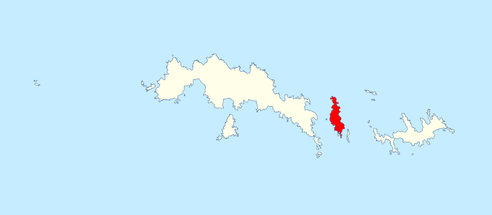
| 描述 | Location of Powell Island in the South Orkney Islands, in the British Antarctic Territory |
| 日期 | |
| 來源 | Data from British Antarctic Survey Geodata Portal - Antarctic Digital Database |
| 作者 |
British Antarctic Survey
|
| 授權許可 (重用此檔案) |
此檔案採用創用CC 姓名標示 4.0 國際授權條款。 姓名標示: Antarctic Digital Database
|
檔案歷史
點選日期/時間以檢視該時間的檔案版本。
| 日期/時間 | 縮圖 | 尺寸 | 使用者 | 備註 | |
|---|---|---|---|---|---|
| 目前 | 2022年5月21日 (六) 14:38 | | 717 × 314(84 KB) | Hogweard | == {{int:filedesc}} == {{Information |description=Location of Powell Island in the South Orkney Islands, in the British Antarctic Territory |date=2020-01-21 |source={{BAS data|source}} |author={{BAS data|author}} *Derivative work: {{u|Hogweard}} |permission={{BAS data}} |other versions= }} Category:Maps of the South Orkney Islands |
檔案用途
下列頁面有用到此檔案:
全域檔案使用狀況
以下其他 wiki 使用了這個檔案:
- en.wikipedia.org 的使用狀況
- it.wikipedia.org 的使用狀況
- ta.wikipedia.org 的使用狀況