
File:IBRA 6.1 Riverina.png
預覽大小:764 × 599 像素。 其他解析度:306 × 240 像素 | 612 × 480 像素 | 979 × 768 像素 | 1,257 × 986 像素。
原始檔案 (1,257 × 986 像素,檔案大小:83 KB,MIME 類型:image/png)
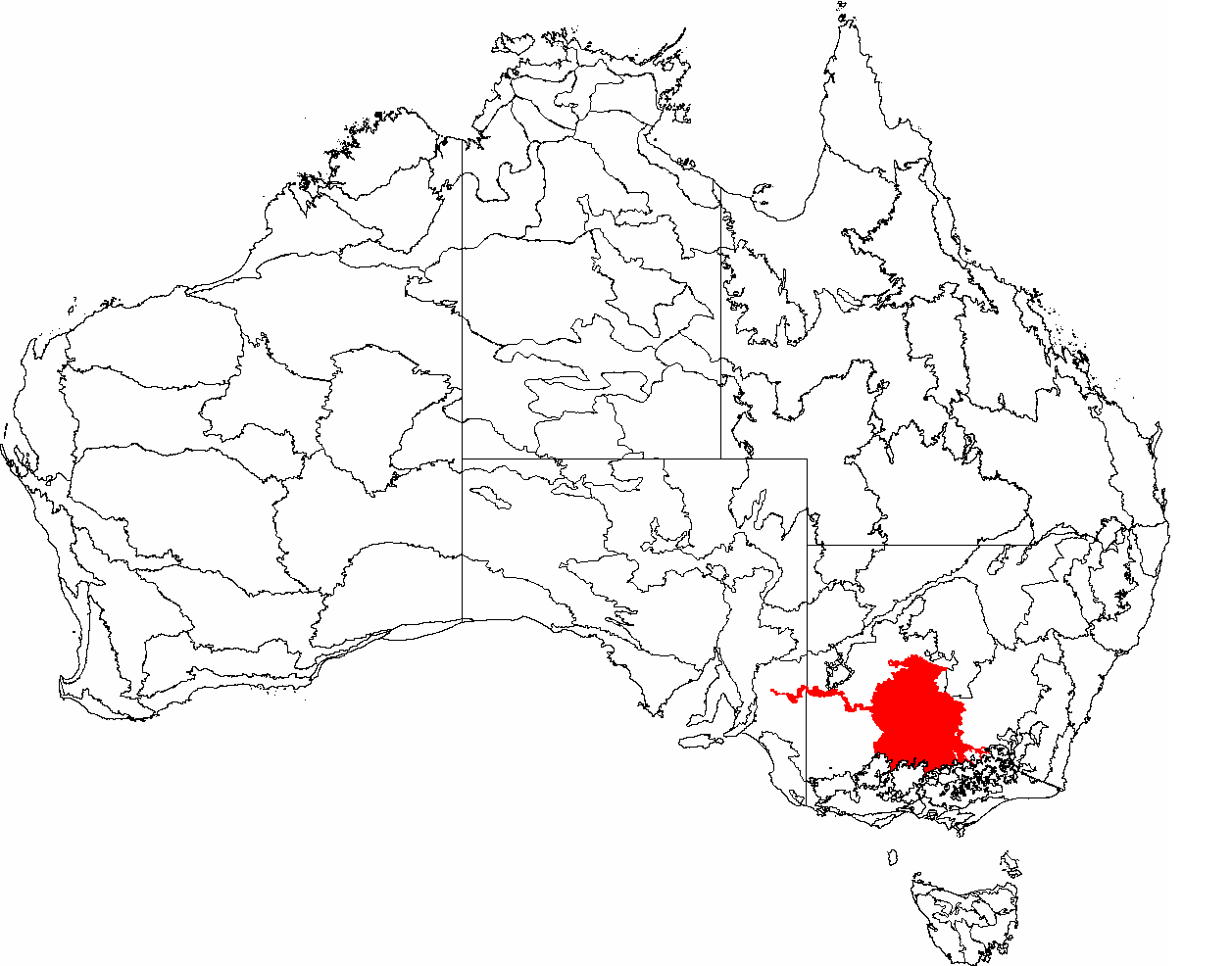
| 描述 | This is a map of the Interim Biogeographic Regionalisation of Australia (IBRA), with state boundaries overlaid. The Riverina region is shown in red. | ||||||||
| 日期 | |||||||||
| 來源 | It was created by the uploader. | ||||||||
| 作者 | Hesperian | ||||||||
| 授權許可 (重用此檔案) |
我,本作品的著作權持有者,決定用以下授權條款發佈本作品:
您可以選擇您需要的授權條款。 |

檔案歷史
點選日期/時間以檢視該時間的檔案版本。
| 日期/時間 | 縮圖 | 尺寸 | 用戶 | 備註 | |
|---|---|---|---|---|---|
| 目前 | 2007年3月3日 (六) 10:48 | | 1,257 × 986(83 KB) | Hesperian | |
| 2007年2月8日 (四) 00:38 |  | 1,149 × 948(77 KB) | Hesperian | {{Information |Description=This is a map of the Interim Biogeographic Regionalisation of Australia (IBRA), with state boundaries overlaid. The '''Riverina''' region is shown in red. |Source=It was created by the uploader. |Date=2007-02-6 |Author=[[User:He |
檔案用途
沒有使用此檔案的頁面。
全域檔案使用狀況
以下其他 wiki 使用了這個檔案:
- ar.wikipedia.org 的使用狀況
- bg.wikipedia.org 的使用狀況
- cs.wikipedia.org 的使用狀況
- de.wikipedia.org 的使用狀況
- en.wikipedia.org 的使用狀況
- eo.wikipedia.org 的使用狀況
- es.wikipedia.org 的使用狀況
- hy.wikipedia.org 的使用狀況
- it.wikipedia.org 的使用狀況
- pl.wikipedia.org 的使用狀況
- ru.wikipedia.org 的使用狀況
- www.wikidata.org 的使用狀況