
File:C73189s1 Ant.Map Coulman Island.jpg

預覽大小:740 × 599 像素。 其他解析度:296 × 240 像素 | 593 × 480 像素 | 948 × 768 像素 | 1,264 × 1,024 像素 | 2,529 × 2,048 像素 | 4,005 × 3,244 像素。
原始檔案 (4,005 × 3,244 像素,檔案大小:1.75 MB,MIME 類型:image/jpeg)
摘要
| 描述 |
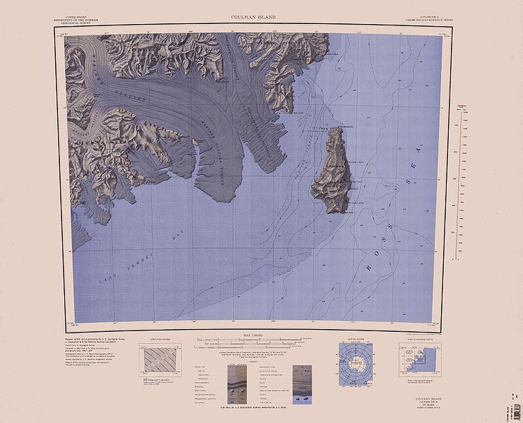
English: 1:250,000-scale topographic reconnaissance map of the Coulman Island area from 166°30'-171°E to 73°-74°S in Antarctica, including Mariner and Borchgrevink Glaciers. Mapped, edited and published by the U.S. Geological Survey in cooperation with the National Science Foundation. |
|||
| 日期 | ||||
| 來源 | http://usarc.usgs.gov/drg_dload.shtml | |||
| 作者 | United States Geological Survey | |||
| 授權許可 (重用此檔案) |
|
檔案歷史
點選日期/時間以檢視該時間的檔案版本。
| 日期/時間 | 縮圖 | 尺寸 | 使用者 | 備註 | |
|---|---|---|---|---|---|
| 目前 | 2005年4月3日 (日) 17:55 | | 4,005 × 3,244(1.75 MB) | Achim Raschka | Map of Antarctica by the United States Antarctic Ressource Center of the US Geological Society. {{PD-US}} Copyrights and Trademarks USGS-authored or produced data and information are in the public domain. While the content of most USGS web pages is in th |
檔案用途
全域檔案使用狀況
以下其他 wiki 使用了這個檔案:
- bg.wikipedia.org 的使用狀況
- ceb.wikipedia.org 的使用狀況
- de.wikipedia.org 的使用狀況
- en.wikipedia.org 的使用狀況
- fr.wikipedia.org 的使用狀況
- he.wikipedia.org 的使用狀況
- it.wikipedia.org 的使用狀況
- ja.wikipedia.org 的使用狀況
- nds.wikipedia.org 的使用狀況
- nn.wikipedia.org 的使用狀況
- no.wikipedia.org 的使用狀況
- th.wikipedia.org 的使用狀況
- www.wikidata.org 的使用狀況