
File:2009-11-04 20-View north from the top of the Apple Pie Hill fire tower.jpg
本预览的尺寸:799 × 600像素。 其他分辨率:320 × 240像素 | 640 × 480像素 | 818 × 614像素。
原始文件 (818 × 614像素,文件大小:590 KB,MIME类型:image/jpeg)
| 描述 |
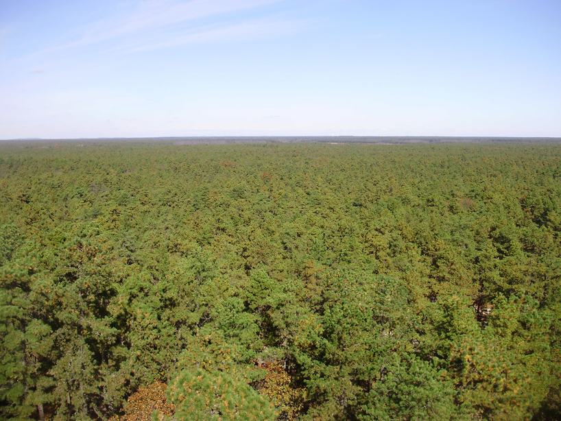
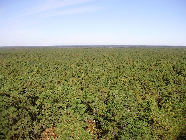
English: View north from the fire tower on Apple Pie Hill of New Jersey Pinelands National Reserve, in New Jersey.
|
| 日期 | (UTC) |
| 来源 | 自己的作品 (原始文本: I (Famartin (talk)) created this work entirely by myself.) |
| 作者 | Famartin (talk) |
| 相机位置 | | 在以下服务上查看本图像和附近其他图像: OpenStreetMap |
|---|
许可协议
本文件采用知识共享署名 3.0 未本地化版本许可协议授权。
- 您可以自由地:
- 共享 – 复制、发行并传播本作品
- 修改 – 改编作品
- 惟须遵守下列条件:
- 署名 – 您必须对作品进行署名,提供授权条款的链接,并说明是否对原始内容进行了更改。您可以用任何合理的方式来署名,但不得以任何方式表明许可人认可您或您的使用。
原始上传日志
本檔案是由Apollo1758使用CommonsHelper,從en.wikipedia轉移到維基共享資源。
原始描述頁面位於這裡。下列使用者名稱均來自en.wikipedia。
- 2009-11-06 00:56 Famartin 818×614× (604328 bytes) {{Information |Description = View north from the fire tower on Apple Pie Hill on the border of [[Tabernacle Township, New Jersey|Tabernacle]] and [[Woodland Township, New Jersey|Woodland]] townships, [[Burlington County, New Jersey|Burlington County]]
文件历史
点击某个日期/时间查看对应时刻的文件。
| 日期/时间 | 缩略图 | 大小 | 用户 | 备注 | |
|---|---|---|---|---|---|
| 当前 | 2009年12月30日 (三) 20:13 | | 818 × 614(590 KB) | Apollo1758 | {{Information |Description={{en|View north from the fire tower on Apple Pie Hill on the border of Tabernacle and Woodland townships, [[:en:Burlington County, New Jersey|Burlingt |
文件用途
以下页面使用本文件:
全域文件用途
以下其他wiki使用此文件:
- en.wikipedia.org上的用途
- en.wikivoyage.org上的用途
- es.wikipedia.org上的用途
- is.wikipedia.org上的用途
- ja.wikipedia.org上的用途
- ru.wikipedia.org上的用途
- sr.wikipedia.org上的用途
- uk.wikipedia.org上的用途