
File:Blank map of the United States.PNG

本预览的尺寸:800 × 520像素。 其他分辨率:320 × 208像素 | 640 × 416像素 | 1,024 × 665像素 | 1,513 × 983像素。
原始文件 (1,513 × 983像素,文件大小:80 KB,MIME类型:image/png)

|
本文件已被Blank USA, w territories.svg取代。建议您使用其他文件。请注意,删除被取代的图片需要达成一致。 使用其他文件的理由:“A vector version is available.”
|

|
摘要
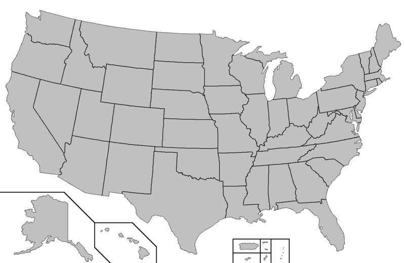
This map was created using this map: Map of USA with county outlines. It shows the 50 states as well as Puerto Rico, American Samoa, Guam, the United States Virgin Islands, and the Northern Mariana Islands.
许可协议

|
本作品为自由软件,您可以依据自由软件基金会发行的GNU通用公共许可证第2版或任意后续版本的条款,传播和/或修改本作品。本作品发表时预期有用,但对此无任何保证,亦无隐含的可以销售或适合特定目的的保证。详情请见GNU通用公共许可证第2版和第3版。 |
derivative works
此文件衍生的作品:
文件历史
点击某个日期/时间查看对应时刻的文件。
| 日期/时间 | 缩略图 | 大小 | 用户 | 备注 | |
|---|---|---|---|---|---|
| 当前 | 2006年7月4日 (二) 04:29 | | 1,513 × 983(80 KB) | Zntrip | This map was created using this map: [http://en.wikipedia.org/wiki/Image:Map_of_USA_with_county_outlines.png Map of USA with county outlines]. It shows the 50 states as well as Puerto Rico, American Samoa, Guam, the United States Virgin Islands, and the N |
文件用途
没有页面链接到本图像。
全域文件用途
以下其他wiki使用此文件: