
File:East China Sea location map OSM.svg

此SVG文件的PNG预览的大小:680 × 600像素。 其他分辨率:272 × 240像素 | 544 × 480像素 | 870 × 768像素 | 1,161 × 1,024像素 | 2,321 × 2,048像素 | 1,360 × 1,200像素。
原始文件 (SVG文件,尺寸为1,360 × 1,200像素,文件大小:153 KB)
摘要
| 描述 |
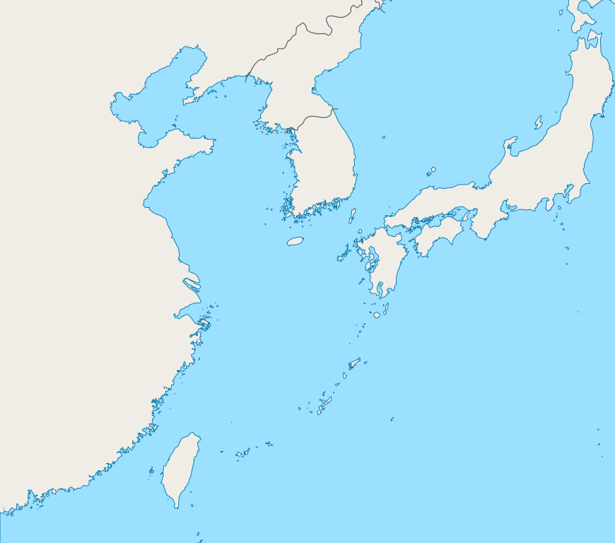
English: Mercator projection map of the East China Sea.
Geographic limits of the map:
|
| 日期 | |
| 来源 | Coastline and border are based on OpenStreetMap. |
| 作者 | OpenStreetMap contributors, and Pekachu |
许可协议
| 此作品内含来自OpenStreetMap贡献者的地图资料,以开放数据库许可证(ODbL)释出。
对于从ODbL数据生成的地图,ODbL不需要任何特定许可。在2020年8月1日之前,OpenStreetMap基金会制作的地图图块已根据CC-BY-SA-2.0许可证授权。其他人制作的地图可能需要获得其他许可。 |
文件历史
点击某个日期/时间查看对应时刻的文件。
| 日期/时间 | 缩略图 | 大小 | 用户 | 备注 | |
|---|---|---|---|---|---|
| 当前 | 2019年10月5日 (六) 03:13 | | 1,360 × 1,200(153 KB) | Geographyinitiative | The maritime boundary lines were straight lines in the ocean- disputed & inexact at best. Also, the ROC-PRC maritime boundary was not included. The best solution for now is not having any lines. A map with exact maritime boundaries would be useful. |
| 2015年8月10日 (一) 14:25 |  | 1,360 × 1,200(158 KB) | Pekachu | User created page with UploadWizard |
文件用途
没有页面链接到本图像。
全域文件用途
以下其他wiki使用此文件:
- ko.wikipedia.org上的用途