
File:Loch Lomond and The Trossachs National Park UK relief location map.png

本预览的尺寸:685 × 600像素。 其他分辨率:274 × 240像素 | 548 × 480像素 | 877 × 768像素 | 1,170 × 1,024像素 | 2,001 × 1,752像素。
原始文件 (2,001 × 1,752像素,文件大小:3.58 MB,MIME类型:image/png)
| 描述 |
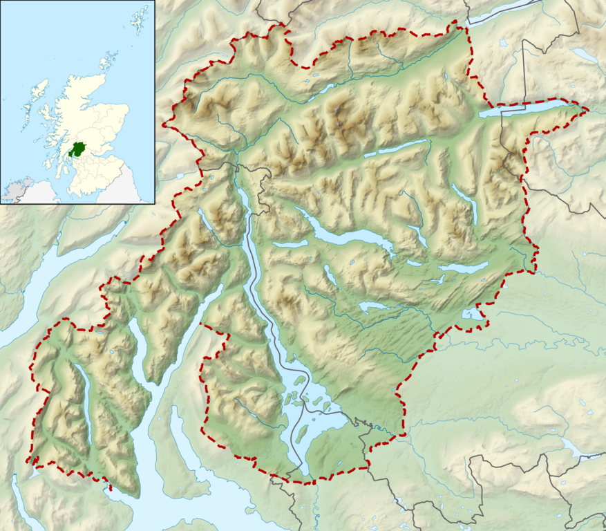
Relief map of the Loch Lomond and The Trossachs National Park, UK Equirectangular map projection on WGS 84 datum, with N/S stretched 170% Geographic limits:
|
| 日期 | |
| 来源 |
Office of National Statistics Geography
|
| 作者 | Nilfanion, created using Ordnance Survey data |
| 授权 (二次使用本文件) |
本文件采用知识共享署名-相同方式共享 3.0 未本地化版本许可协议授权。 署名: Contains Ordnance Survey data © Crown copyright and database right
|
文件历史
点击某个日期/时间查看对应时刻的文件。
| 日期/时间 | 缩略图 | 大小 | 用户 | 备注 | |
|---|---|---|---|---|---|
| 当前 | 2012年3月17日 (六) 10:52 | | 2,001 × 1,752(3.58 MB) | Nilfanion | {{Information |Description=Relief map of the Loch Lomond and The Trossachs National Park, UK Equirectangular map projection on WGS 84 datum, with N/S stretched 170% Geographic limits: *West: 5.15W *Ea... |
文件用途
以下页面使用本文件:
全域文件用途
以下其他wiki使用此文件:
- da.wikipedia.org上的用途
- en.wikipedia.org上的用途
- fi.wikipedia.org上的用途
- fr.wikipedia.org上的用途
- is.wikipedia.org上的用途
- it.wikipedia.org上的用途
- nl.wikipedia.org上的用途
- nn.wikipedia.org上的用途
- no.wikipedia.org上的用途
- ru.wikipedia.org上的用途
- sl.wikipedia.org上的用途