
File:Lords south stands.jpg
本预览的尺寸:800 × 600像素。 其他分辨率:320 × 240像素 | 640 × 480像素 | 1,024 × 768像素 | 1,280 × 960像素 | 2,272 × 1,704像素。
原始文件 (2,272 × 1,704像素,文件大小:867 KB,MIME类型:image/jpeg)
摘要
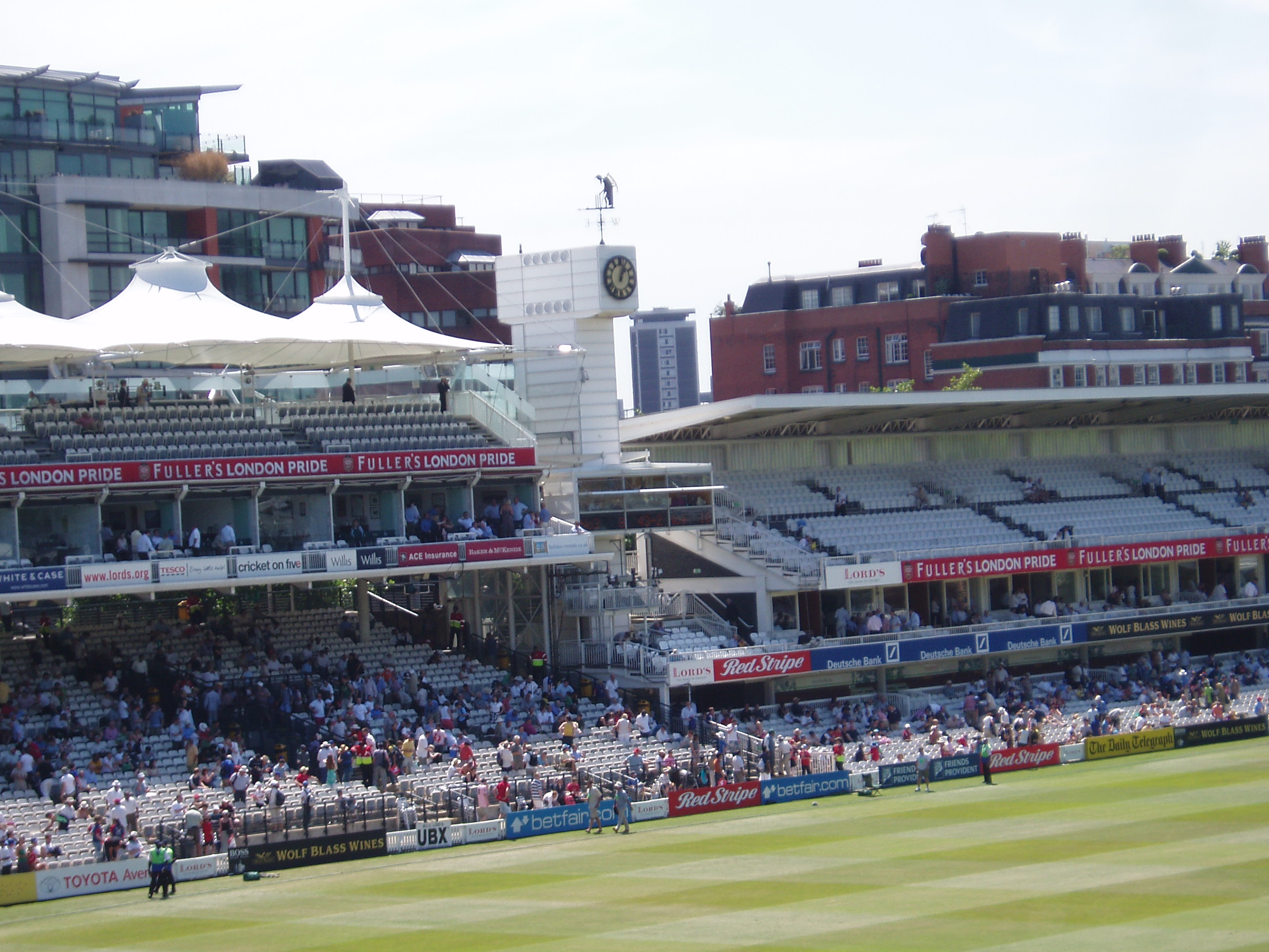
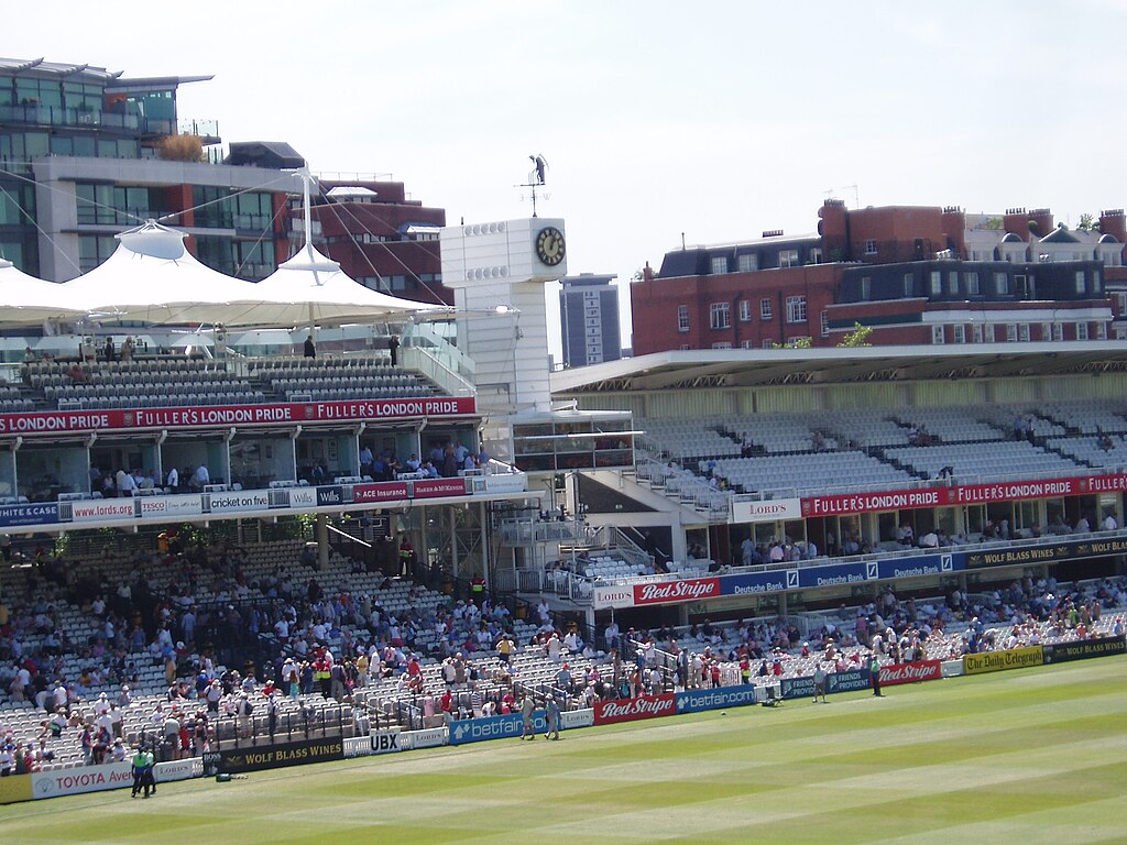
| 描述 | The stands towards the southern end of Lord's Cricket Ground - the Mound Stand on the left and the Tavern Stand on the right, with the Father Time weather vane in between. |
| 日期 | |
| 来源 | https://www.flickr.com/photos/burge5000/246338593/ |
| 作者 | burge5000 / Peter Burgess |
| 授权 (二次使用本文件) |
Creative Commons Attribution license |
| 相机位置 | | 在以下服务上查看本图像和附近其他图像: OpenStreetMap |
|---|
许可协议
| 这幅图片原始出处为Flickr的https://www.flickr.com/photos/burge5000/246338593/ ,作者为burge5000 。经机器人FlickreviewR在2007年1月2日审查后确定为采用cc-by-2.0的协议授权使用。 |
文件历史
点击某个日期/时间查看对应时刻的文件。
| 日期/时间 | 缩略图 | 大小 | 用户 | 备注 | |
|---|---|---|---|---|---|
| 当前 | 2006年12月31日 (日) 17:09 | | 2,272 × 1,704(867 KB) | Cenobite | {{Information |Description= The south stands at Lord's Cricket Ground, showing the public area on the left and the members-only area on the right. |Source= http://www.flickr.com/photos/burge5000/246338593/ |Date= 2006-09-18 |Author= burge5000 / Peter Burg |
文件用途
以下页面使用本文件:
全域文件用途
以下其他wiki使用此文件:
- da.wikipedia.org上的用途
- en.wikipedia.org上的用途
- eo.wikipedia.org上的用途
- fa.wikipedia.org上的用途
- fr.wikipedia.org上的用途
- he.wikipedia.org上的用途
- hi.wikipedia.org上的用途
- kn.wikipedia.org上的用途
- te.wikipedia.org上的用途