
File:Mapa de relevo do Sul do Brasil.png
本预览的尺寸:474 × 599像素。 其他分辨率:190 × 240像素 | 501 × 633像素。
原始文件 (501 × 633像素,文件大小:523 KB,MIME类型:image/png)
| 描述 |
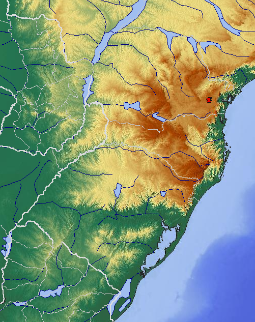
English: Relief map of the South of Brazil
Português: Mapa de relevo do Sul do Brasil |
||
| 日期 | |||
| 来源 | http://www.maps-for-free.com/ | ||
| 作者 | snapshot from http://www.maps-for-free.com/ | ||
| 授权 (二次使用本文件) |
|

文件历史
点击某个日期/时间查看对应时刻的文件。
| 日期/时间 | 缩略图 | 大小 | 用户 | 备注 | |
|---|---|---|---|---|---|
| 当前 | 2009年12月28日 (一) 22:37 | | 501 × 633(523 KB) | Pdms | {{Information |Description={{en|1=Relief map of the South of Brazil}} {{pt|1=Mapa de relevo do Sul do Brasil}} |Source=http://www.maps-for-free.com/ |Author=snapshot from http://www.maps-for-free.com/ |Date=2009-12 |Permission={{GFDL}} |other_versions= }} |
文件用途
以下页面使用本文件:
全域文件用途
以下其他wiki使用此文件:
- ca.wikipedia.org上的用途
- de.wikipedia.org上的用途
- en.wikipedia.org上的用途
- es.wikipedia.org上的用途
- fr.wikipedia.org上的用途
- hr.wikipedia.org上的用途
- it.wikipedia.org上的用途
- lt.wikipedia.org上的用途
- pt.wikipedia.org上的用途
- Região Sul do Brasil
- Geografia da Região Sul do Brasil
- Serras de Sudeste
- Serra Geral (sul do Brasil)
- Serra do Corvo Branco
- Usuário:DAR7/Testes/Geografia/Região Sul do Brasil/Geomorfologia
- Usuário:DAR7/Testes/Geografia do Brasil/Região Sul do Brasil
- Usuário:Wilberty/Testes
- Usuário:DAR7/Testes/Geografia do Brasil/Região Sul do Brasil/Erros gramaticais
- sh.wikipedia.org上的用途
- sr.wikipedia.org上的用途
- www.wikidata.org上的用途