
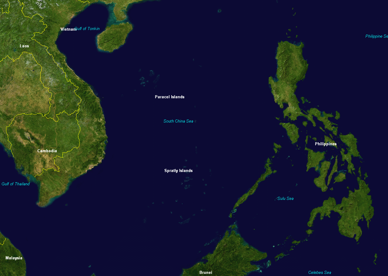
File:Spratly & Paracel Islands.png
本预览的尺寸:800 × 569像素。 其他分辨率:320 × 228像素 | 640 × 455像素 | 1,024 × 728像素 | 1,280 × 910像素。
原始文件 (1,280 × 910像素,文件大小:254 KB,MIME类型:image/png)
摘要
| 描述 | |
| 来源 | NASA |
| 作者 | NASA |
许可协议
| 本圖像屬於公有領域,因其為NASA的World Wind衛星地圖瀏覽器的一張截圖,且使用了公有領域圖層,如Blue Marble、MODIS、Landsat、SRTM、USGS、GLOBE等。
|
 |
原始上传日志
原始描述頁面位於這裡。下列使用者名稱均來自en.wikipedia。
- 2005-03-08 05:34 DHN 1280×910×8 (313118 bytes) Spratly and Paracel Islands, from World Wind
- 2005-03-08 05:31 DHN 1280×910×8 (313118 bytes) Spratly and Paracel Islands, from World Wind
原始上传日志
| 日期/时间 | 大小 | 用户 | 备注 |
|---|---|---|---|
| 2008年2月18日, 23:04:40 | 1280 × 910 (313118 bytes) | File Upload Bot (Magnus Manske) (留言 · 贡献) | {{BotMoveToCommons|en.wikipedia}} {{Information |Description={{en|Spratly and Paracel Islands, from [[:en:NASA World Wind]] [[:en:Category:Maps of the Paracel Islands]] [[:en:Category:Maps of the Spratly Islands]]}} |Source=Transferred from [http://en.w |
文件历史
点击某个日期/时间查看对应时刻的文件。
| 日期/时间 | 缩略图 | 大小 | 用户 | 备注 | |
|---|---|---|---|---|---|
| 当前 | 2015年8月18日 (二) 17:35 | | 1,280 × 910(254 KB) | GifTagger | Bot: Converting file to superior PNG file. (Source: Spratly & Paracel Islands.gif). This GIF was problematic due to non-greyscale color table. |
文件用途
没有页面链接到本图像。
全域文件用途
以下其他wiki使用此文件:
- da.wikipedia.org上的用途
- fr.wiktionary.org上的用途
- ja.wikipedia.org上的用途
- ms.wikipedia.org上的用途
- pam.wikipedia.org上的用途
- sco.wikipedia.org上的用途
- simple.wikipedia.org上的用途