
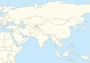
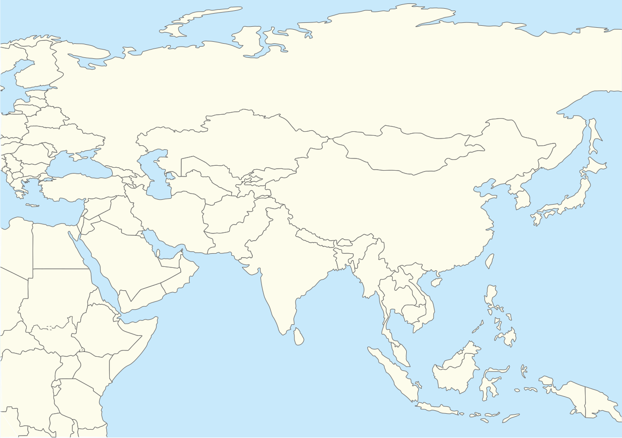
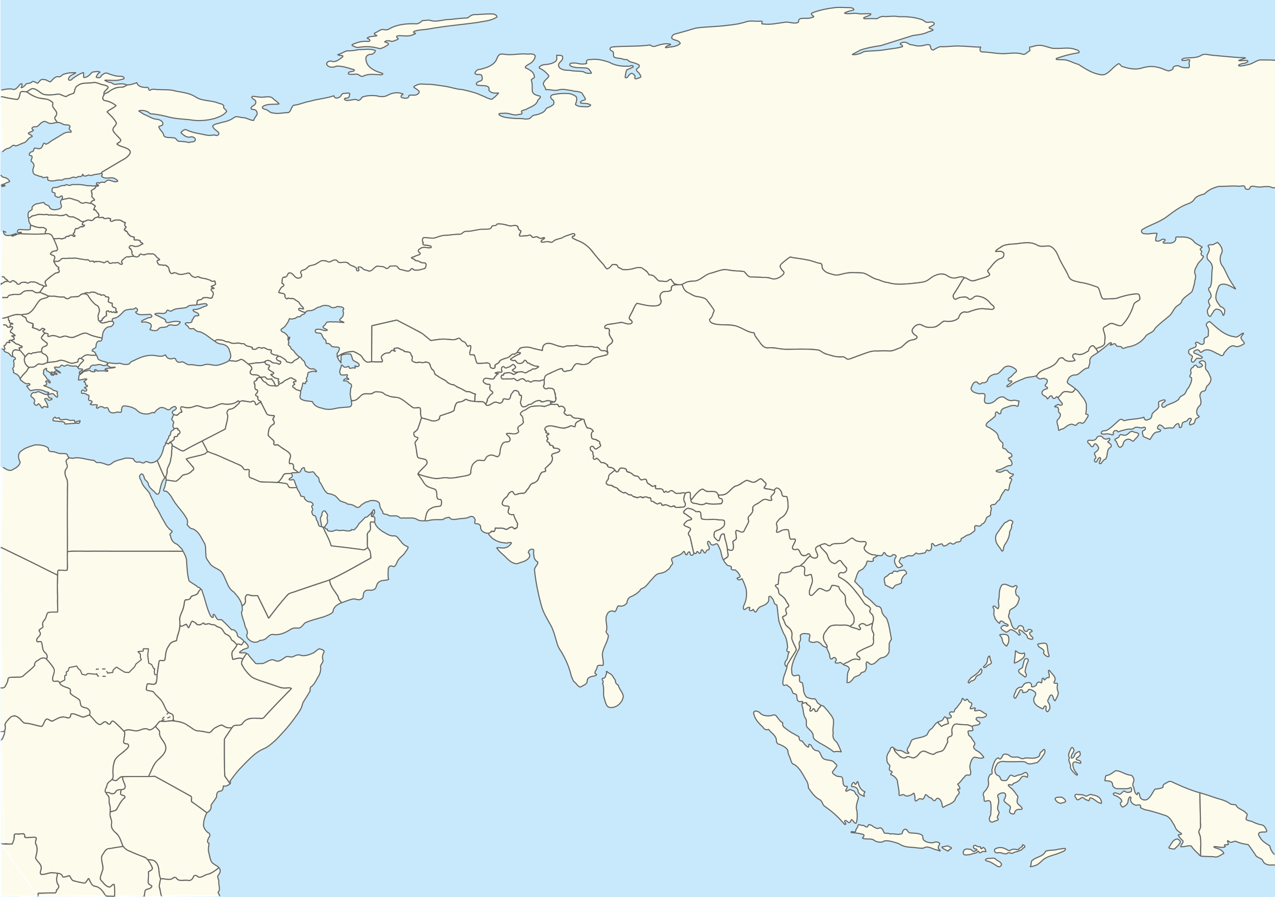
File:Asia location map2.svg

此 SVG 檔案的 PNG 預覽的大小:290 × 204 像素。 其他解析度:320 × 225 像素 | 640 × 450 像素 | 1,024 × 720 像素 | 1,280 × 900 像素 | 2,560 × 1,801 像素。
原始檔案 (SVG 檔案,表面大小:290 × 204 像素,檔案大小:263 KB)
| 描述 | Location map for Asia with national borders(second version) |
| 日期 | (UTC) |
| 來源 | |
| 作者 |
|
| 這是一張修飾過的圖片,即本圖片是用軟體修改過後的版本。原版圖片來源:World location map.svg。
|
我,本作品的著作權持有者,決定用以下授權條款發佈本作品:
| 我,此作品的版權所有人,釋出此作品至公共領域。此授權條款在全世界均適用。 這可能在某些國家不合法,如果是的話: 我授予任何人有權利使用此作品於任何用途,除受法律約束外,不受任何限制。 |
原始上傳日誌
This image is a derivative work of the following images:
- File:World_location_map.svg licensed with PD-self
- 2010-04-18T18:53:02Z STyx 800x400 (599024 Bytes) {{Information |Description={{en|1=?}} |Source=? |Author=? |Date= |Permission= |other_versions= }} == {{int:filedesc}} == {{Information |Description={{en}}Blank world map for location map templates ([[:en:Equirectangular proje
Uploaded with derivativeFX
檔案歷史
點選日期/時間以檢視該時間的檔案版本。
| 日期/時間 | 縮圖 | 尺寸 | 使用者 | 備註 | |
|---|---|---|---|---|---|
| 目前 | 2019年4月12日 (五) 15:31 | | 290 × 204(263 KB) | Goran tek-en | Updating South Sudan as requested by {{u|Maphobbyist}}. |
| 2010年10月28日 (四) 11:55 |  | 290 × 204(258 KB) | 배우는사람 | {{Information |Description=Location map for Asia (second version) |Source=*File:World_location_map.svg |Date=2010-10-28 11:54 (UTC) |Author=*File:World_location_map.svg *derivative work: ~~~ |Permission= |other_versions= }} {{RetouchedPicture |
檔案用途
下列3個頁面有用到此檔案:
全域檔案使用狀況
以下其他 wiki 使用了這個檔案:
- ar.wikipedia.org 的使用狀況
- ba.wikipedia.org 的使用狀況
- bh.wikipedia.org 的使用狀況
- blk.wikipedia.org 的使用狀況
- bn.wikipedia.org 的使用狀況
- br.wikipedia.org 的使用狀況
- ca.wikipedia.org 的使用狀況
- ceb.wikipedia.org 的使用狀況
- da.wikipedia.org 的使用狀況
- diq.wikipedia.org 的使用狀況
- dty.wikipedia.org 的使用狀況
- en.wikipedia.org 的使用狀況
- Ibn Battuta
- Sary Shagan
- Mount Awu
- Kontinental Hockey League
- Module:Location map/data/Asia (equirectangular)/doc
- Template:Location map+/testcases
- Template:Location map+/overlay
- User:Mertborak
- List of places visited by Ibn Battuta
- User:Aidann/sandbox
- User:Joelton Ivson/Gather lists/24675 – Esportes
- Module:Location map/data/Asia (equirectangular)
- en.wikiversity.org 的使用狀況
- eu.wikipedia.org 的使用狀況
- fa.wikipedia.org 的使用狀況
- fo.wikipedia.org 的使用狀況
- gu.wikipedia.org 的使用狀況
- he.wikipedia.org 的使用狀況
- id.wikipedia.org 的使用狀況
- ilo.wikipedia.org 的使用狀況
檢視此檔案的更多全域使用狀況。