
File:Crop spraying near St Mary Bourne - geograph.org.uk - 392462.jpg
無更高解析度可提供。
Crop_spraying_near_St_Mary_Bourne_-_geograph.org.uk_-_392462.jpg (640 × 480 像素,檔案大小:143 KB,MIME 類型:image/jpeg)
摘要
| 描述 |
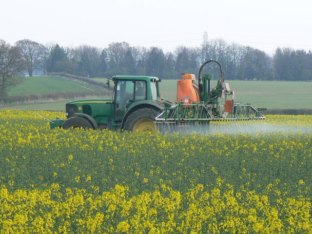
English: Crop spraying near St Mary Bourne. I know not whether the spray is herbicide, pesticide or fertiliser. The crop is rapeseed. Coming into full flower soon, the air was filled with its rather rank scent. The pylons in the background are about a kilometre south of the viewpoint. |
||
| 日期 | |||
| 來源 | From geograph.org.uk | ||
| 作者 | Brian Robert Marshall | ||
| 授權許可 (重用此檔案) |
此檔案採用創用CC 姓名標示-相同方式分享 2.0 通用版授權條款。 姓名標示: Brian Robert Marshall
|
||
| 姓名標示 (由许可协议要求) | Brian Robert Marshall / Crop spraying near St Mary Bourne / | ||

| 拍攝地點 | | 位於此地的本圖片與其他圖片: OpenStreetMap |
|---|
_heading:135.00&language=zh-hant)
| 目標地點 | | 位於此地的本圖片與其他圖片: OpenStreetMap |
|---|
_heading:135.00&language=zh-hant)
檔案歷史
點選日期/時間以檢視該時間的檔案版本。
| 日期/時間 | 縮圖 | 尺寸 | 使用者 | 備註 | |
|---|---|---|---|---|---|
| 目前 | 2011年2月3日 (四) 17:24 | | 640 × 480(143 KB) | GeographBot | == {{int:filedesc}} == {{Information |description={{en|1=Crop spraying near St Mary Bourne I know not whether the spray is herbicide, pesticide or fertiliser. The crop is rapeseed. Coming into full flower soon, the air was filled with its rather rank scen |
檔案用途
下列2個頁面有用到此檔案:
全域檔案使用狀況
以下其他 wiki 使用了這個檔案:
- bn.wikipedia.org 的使用狀況
- ckb.wikipedia.org 的使用狀況
- cs.wikipedia.org 的使用狀況
- en.wikipedia.org 的使用狀況
- es.wikipedia.org 的使用狀況
- fa.wikipedia.org 的使用狀況
- fr.wikipedia.org 的使用狀況
- id.wikipedia.org 的使用狀況
- pt.wikipedia.org 的使用狀況
- vi.wikipedia.org 的使用狀況