
File:Koppen-Geiger Map Azores present.svg

此 SVG 檔案的 PNG 預覽的大小:336 × 183 像素。 其他解析度:320 × 174 像素 | 640 × 349 像素 | 1,024 × 558 像素 | 1,280 × 697 像素 | 2,560 × 1,394 像素。
原始檔案 (SVG 檔案,表面大小:336 × 183 像素,檔案大小:1.15 MB)
摘要
| 描述 |
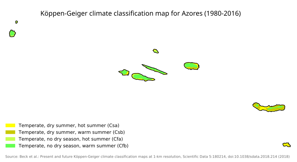
English: Köppen–Geiger climate classification map for Portugal |
| 日期 | |
| 來源 |
本檔案衍生自: Koppen-Geiger Map PRT present.svg: |
| 作者 |
|
| 這是一張修飾過的圖片,即本圖片是用軟體修改過後的版本,修改的方式或內容有:cropped for azores。原版圖片來源:Koppen-Geiger Map PRT present.svg。修改者:Gogolplex。
|
授權條款
我,本作品的著作權持有者,決定用以下授權條款發佈本作品:
此檔案採用創用CC 姓名標示 4.0 國際授權條款。
- 您可以自由:
- 分享 – 複製、發佈和傳播本作品
- 重新修改 – 創作演繹作品
- 惟需遵照下列條件:
- 姓名標示 – 您必須指名出正確的製作者,和提供授權條款的連結,以及表示是否有對內容上做出變更。您可以用任何合理的方式來行動,但不得以任何方式表明授權條款是對您許可或是由您所使用。
原始上傳日誌
This image is a derivative work of the following images:
- File:Koppen-Geiger Map PRT present.svg licensed with Cc-by-4.0
- 2018-11-26T05:28:50Z NVergopolan 1816x850 (1348882 Bytes) {{Information |Description={{en| Köppen–Geiger climate classification map for Portugal}}|date=2018-11-06|source={{cite journal | title=Present and future Köppen-Geiger climate classification maps at 1-km resolution | jour
Uploaded with derivativeFX
檔案歷史
點選日期/時間以檢視該時間的檔案版本。
| 日期/時間 | 縮圖 | 尺寸 | 使用者 | 備註 | |
|---|---|---|---|---|---|
| 目前 | 2023年2月9日 (四) 11:50 | | 336 × 183(1.15 MB) | Gogolplex | == {{int:filedesc}} == {{Information |Description={{en| Köppen–Geiger climate classification map for Portugal}} |date=2018-11-06 |Source={{Derived from|Koppen-Geiger Map PRT present.svg|display=50}} |Date=2023-02-09 11:47 (UTC) |Author=* File:Koppen-Geiger Map PRT present.svg: Beck, H.E., Zimmermann, N. E., McVicar, T. R., Vergopolan, N., Berg, A., & Wood, E. F. * derivative work: [[User:{{subst:REVISIONUSER}}|{{subst:REVISIONUSER}}]] |Permission= |... |
檔案用途
沒有使用此檔案的頁面。
全域檔案使用狀況
以下其他 wiki 使用了這個檔案:
- en.wikipedia.org 的使用狀況