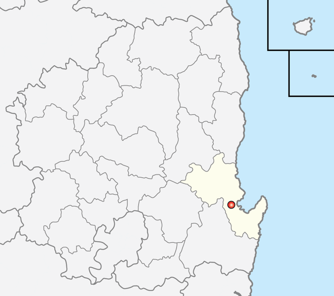
File:Map Pohang-si.png
外觀

預覽大小:677 × 599 像素。 其他解析度:271 × 240 像素 | 542 × 480 像素。
原始檔案 (800 × 708 像素,檔案大小:88 KB,MIME 類型:image/png)
檔案歷史
點選日期/時間以檢視該時間的檔案版本。
| 日期/時間 | 縮圖 | 尺寸 | 使用者 | 備註 | |
|---|---|---|---|---|---|
| 目前 | 2013年12月6日 (五) 09:07 |  | 800 × 708(88 KB) | Geoarchive | Change Borders |
| 2011年6月24日 (五) 20:00 |  | 300 × 246(5 KB) | Asfreeas | Color and Form match | |
| 2006年2月19日 (日) 01:40 |  | 300 × 246(5 KB) | Hyolee2 | nam-gu,buk-gu | |
| 2004年12月9日 (四) 16:37 |  | 300 × 246(5 KB) | Cinnamon~commonswiki | {{GFDL}}made from Maps of Korea |
檔案用途
沒有使用此檔案的頁面。
全域檔案使用狀況
以下其他 wiki 使用了這個檔案:
- fa.wikipedia.org 的使用狀況
- fr.wikipedia.org 的使用狀況
- id.wikipedia.org 的使用狀況
- it.wikipedia.org 的使用狀況
- ja.wikipedia.org 的使用狀況
- ko.wikipedia.org 的使用狀況
- ms.wikipedia.org 的使用狀況
- no.wikipedia.org 的使用狀況
- pt.wikipedia.org 的使用狀況


