
File:Port-jefferson-map.gif
無更高解析度可提供。
Port-jefferson-map.gif (575 × 425 像素,檔案大小:55 KB,MIME 類型:image/gif)
摘要
| 描述 | |
| 日期 | |
| 來源 | http://factfinder.census.gov |
| 作者 | United States Census Bureau |
| 授權許可 (重用此檔案) |
Public domain |
授權條款
This image or file is a work of a United States Census Bureau employee, taken or made as part of that person's official duties. As a work of the U.S. federal government, the image is in the public domain.
|
 |
原始上傳日誌
The original description page was here. All following user names refer to en.wikipedia.
- 2007-11-19 23:49 Americasroof 575×425× (55988 bytes) [[Port Jefferson, New York]] map from U.S. Census
檔案歷史
點選日期/時間以檢視該時間的檔案版本。
| 日期/時間 | 縮圖 | 尺寸 | 使用者 | 備註 | |
|---|---|---|---|---|---|
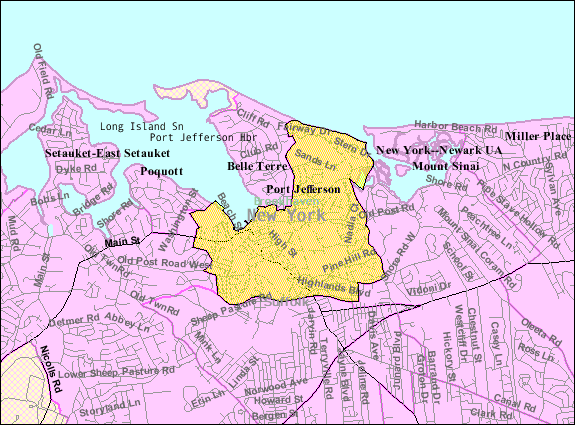
| 目前 | 2013年8月23日 (五) 06:18 | | 575 × 425(55 KB) | Dcirovic | {{Information |Description={{en|en:U.S. Census 2000 reference map for en:Port Jefferson, New York<br/> en:Category:Maps of Long Island, New York}} |Source=Transferred from [http://en.wikipedia.org en.wikipedia]<br/> (Original text :... |
檔案用途
下列頁面有用到此檔案:
全域檔案使用狀況
以下其他 wiki 使用了這個檔案:
- ar.wikipedia.org 的使用狀況
- azb.wikipedia.org 的使用狀況
- ca.wikipedia.org 的使用狀況
- ceb.wikipedia.org 的使用狀況
- cy.wikipedia.org 的使用狀況
- en.wikipedia.org 的使用狀況
- es.wikipedia.org 的使用狀況
- eu.wikipedia.org 的使用狀況
- fa.wikipedia.org 的使用狀況
- ht.wikipedia.org 的使用狀況
- sh.wikipedia.org 的使用狀況
- simple.wikipedia.org 的使用狀況
- sr.wikipedia.org 的使用狀況
- www.wikidata.org 的使用狀況