
File:Position of Waikato Region.png
無更高解析度可提供。
Position_of_Waikato_Region.png (405 × 590 像素,檔案大小:7 KB,MIME 類型:image/png)

|
本圖片是以PNG、GIF或JPEG格式上傳。然而,其中包含的資料或訊息,應該重新建立成可縮放向量圖形(SVG)檔案,以更有效率或更準確的方式儲存。如有可能,請上傳本圖片的SVG格式版本。在上傳之後,請修改維基各姊妹計畫中所有使用舊版圖片的條目(列在圖像連結章節中),替換為新版圖片,並在舊圖片的描述頁中加入{{Vector version available|新圖片名稱.svg}}模板,同時移除本模板。
|
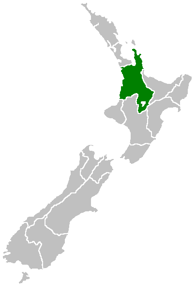
Region of New Zealand, position on the map (source:English Wiki)
| |
此作品已由其作者,中文維基百科專案的Furius,釋出至公有領域。此授權條款在全世界均適用。 如果法律不適用時: |
檔案歷史
點選日期/時間以檢視該時間的檔案版本。
| 日期/時間 | 縮圖 | 尺寸 | 使用者 | 備註 | |
|---|---|---|---|---|---|
| 目前 | 2005年4月27日 (三) 07:41 | | 405 × 590(7 KB) | Domie~commonswiki | Region of New Zealand, position on the map (source:English Wiki) {{PD}} Category:Maps of New Zealand |
檔案用途
沒有使用此檔案的頁面。
全域檔案使用狀況
以下其他 wiki 使用了這個檔案:
- en.wikipedia.org 的使用狀況
- Mamaku Ranges
- Cape Colville
- Motukawao Islands
- Coromandel Range
- Slipper Island
- Lake Maraetai
- Lake Arapuni
- Lake Waikare
- Mangateparu
- Māhoenui
- Ōhakuri Dam
- Template:Waikato-geo-stub
- Huntly Power Station
- Lady Knox Geyser
- Horseshoe Lake (New Zealand)
- Lake Rotopounamu
- Awakino
- Kārewa / Gannet Island
- Waihi Village
- Hauauru ma raki
- Te Huka Power Station
- Portal:Monarchy
- Te Rapa cogeneration
- Te Mihi Power Station
- Wairakei Power Station
- Te Uku Wind Farm
- Aratiatia Power Station
- Ohaaki Power Station
- Poihipi Power Station
- Rotokawa Power Station
- Horahora Power Station
- Karāpiro Power Station
- Nga Awa Purua Power Station
- Madonna Falls
- Ben Lomond (Waikato)
- Tongariro Power Scheme
- Atiamuri Power Station
- Maraetai Power Station
- Arapuni Power Station
- Meremere Power Station
- Whakamaru Dam
- Wairere Falls
- Seabird Coast
- Ngatamariki Power Station
- Non-sovereign monarchy
- Whitianga Festival of Speed
- List of localities in Waikato
- Waikato County
- Hamilton Town Belt
- Grandview Heights, New Zealand
檢視此檔案的更多全域使用狀況。