
File:WorldMap.svg

此 SVG 檔案的 PNG 預覽的大小:800 × 405 像素。 其他解析度:320 × 162 像素 | 640 × 324 像素 | 1,024 × 519 像素 | 1,280 × 648 像素 | 2,560 × 1,297 像素 | 2,760 × 1,398 像素。
原始檔案 (SVG 檔案,表面大小:2,760 × 1,398 像素,檔案大小:729 KB)

檔案歷史
點選日期/時間以檢視該時間的檔案版本。
| 日期/時間 | 縮圖 | 尺寸 | 使用者 | 備註 | |
|---|---|---|---|---|---|
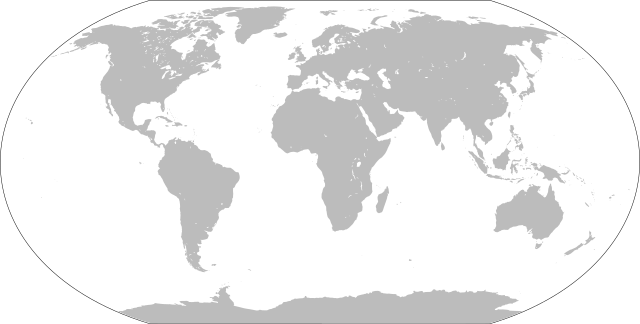
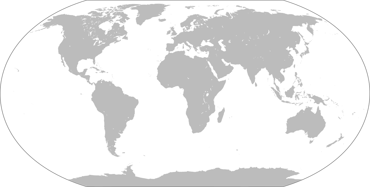
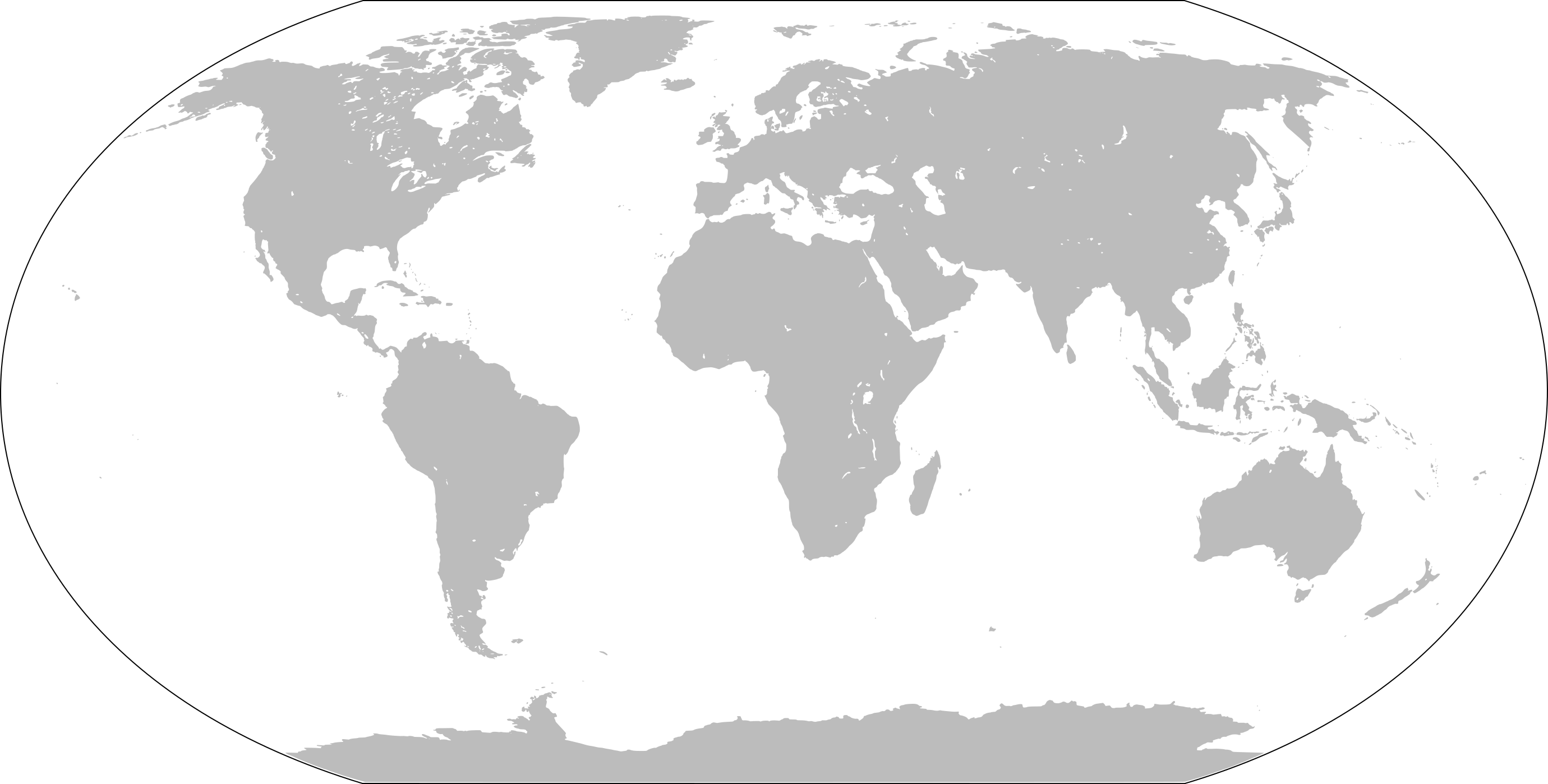
| 目前 | 2022年1月26日 (三) 16:43 | | 2,760 × 1,398(729 KB) | Scratchinghead | Islands disconnected-again |
| 2022年1月26日 (三) 16:26 |  | 2,760 × 1,398(236 KB) | Belbury | Reverted to version as of 08:52, 12 September 2012 (UTC) also erased the sea and the map's border | |
| 2022年1月26日 (三) 16:22 |  | 5,365 × 2,796(714 KB) | Scratchinghead | Some islands were connected to the mainland, changed that | |
| 2012年9月12日 (三) 08:52 |  | 2,760 × 1,398(236 KB) | Palosirkka | Scrubbed with http://codedread.com/scour/ | |
| 2009年1月1日 (四) 14:51 |  | 2,760 × 1,398(508 KB) | CodeOne | == Summary == This is a recreated version of Image:LocationWorld.png using vector graphics. Original description: Large plain-grey map of world created by adapting Image:LocationSouthAmerica.png. Previous image uploaded by User:UserLogin no |
檔案用途
下列2個頁面有用到此檔案:
全域檔案使用狀況
以下其他 wiki 使用了這個檔案:
- bn.wikibooks.org 的使用狀況
- da.wikipedia.org 的使用狀況
- en.wikipedia.org 的使用狀況
- en.wikibooks.org 的使用狀況
- es.wikipedia.org 的使用狀況
- fa.wikipedia.org 的使用狀況
- fr.wikipedia.org 的使用狀況
- he.wikipedia.org 的使用狀況
- hu.wiktionary.org 的使用狀況
- Central Europe
- Eastern Europe
- Southern Europe
- Northern Europe
- Antarctica
- North America
- South America
- Asia
- Indian Ocean
- Central America
- Micronesia
- Pacific Ocean
- Earth
- Caribbean
- Americas
- Arctic Ocean
- Central Africa
- Southern Ocean
- East Asia
- West Africa
- North Africa
- Western Europe
- West Asia
- Sablon:Earth Labelled Map
- South Asia
- Australasia
- Northern America
- East Africa
- Horn of Africa
- Southwest Asia
- Central Asia
檢視此檔案的更多全域使用狀況。