
File:Alagoas Municipalities.png
預覽大小:800 × 447 像素。 其他解析度:320 × 179 像素 | 640 × 358 像素 | 1,252 × 700 像素。
原始檔案 (1,252 × 700 像素,檔案大小:30 KB,MIME 類型:image/png)

|
本圖片是以PNG、GIF或JPEG格式上傳。然而,其中包含的資料或訊息,應該重新建立成可縮放向量圖形(SVG)檔案,以更有效率或更準確的方式儲存。如有可能,請上傳本圖片的SVG格式版本。在上傳之後,請修改維基各姊妹計畫中所有使用舊版圖片的條目(列在圖像連結章節中),替換為新版圖片,並在舊圖片的描述頁中加入{{Vector version available|新圖片名稱.svg}}模板,同時移除本模板。
|
摘要
| 描述 |
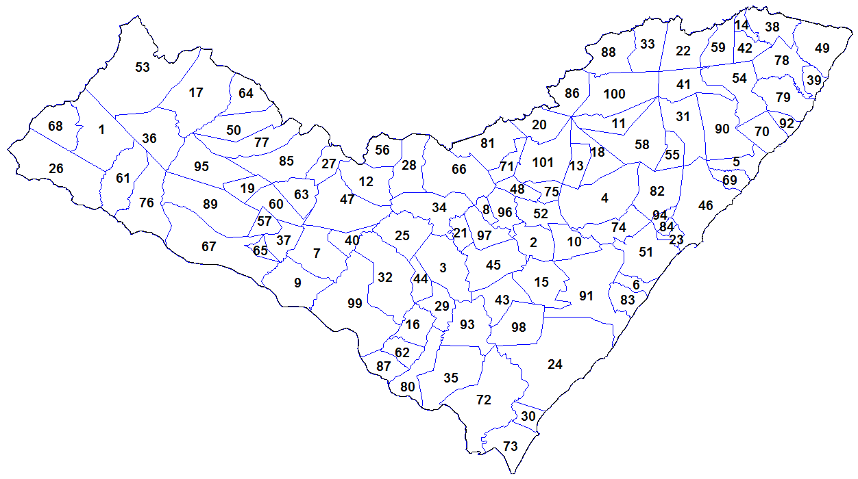
English: Map of the municipalities of the state of Alagoas, Brazil. Created by Rarelibra 18:55, 24 August 2006 (UTC) for public domain use. Created using MapInfo Professional v8.5 and various mapping resources. |
| 日期 | 2006年八月24日 (原始上傳日期) |
| 來源 |
自己的作品 Transferred from en.wikipedia |
| 作者 | Rarelibra at en.wikipedia |
授權條款
| |
此作品已由其作者,中文維基百科專案的Rarelibra,釋出至公有領域。此授權條款在全世界均適用。 如果法律不適用時: |
原始上傳日誌
The original description page was here. All following user names refer to en.wikipedia.
- 2006-08-24 18:55 Rarelibra 1281×880 (52921 bytes) Map of the municipalities of the state of Alagoas, Brazil. Created by ~~~~ for public domain use. Created using MapInfo Professional v8.5 and various mapping resources.
檔案歷史
點選日期/時間以檢視該時間的檔案版本。
| 日期/時間 | 縮圖 | 尺寸 | 用戶 | 備註 | |
|---|---|---|---|---|---|
| 目前 | 2023年11月2日 (四) 21:48 | | 1,252 × 700(30 KB) | Beao | Cropped 2 % horizontally, 20 % vertically using CropTool with lossless mode. Removed border. |
| 2012年1月29日 (日) 14:29 |  | 1,281 × 880(52 KB) | BotMultichillT | {{BotMoveToCommons|en.wikipedia|year={{subst:CURRENTYEAR}}|month={{subst:CURRENTMONTHNAME}}|day={{subst:CURRENTDAY}}}} == {{int:filedesc}} == {{Information |description={{en|1=Map of the municipalities of the state of Alagoas, Brazil. Created by [[:en:Us |
檔案用途
下列6個頁面有用到此檔案:
全域檔案使用狀況
以下其他 wiki 使用了這個檔案:
- ban.wikipedia.org 的使用狀況
- en.wikipedia.org 的使用狀況
- es.wikipedia.org 的使用狀況
- id.wikipedia.org 的使用狀況
- ro.wikipedia.org 的使用狀況
- sco.wikipedia.org 的使用狀況