
File:Blank map of the United States.PNG

預覽大小:800 × 520 像素。 其他解析度:320 × 208 像素 | 640 × 416 像素 | 1,024 × 665 像素 | 1,513 × 983 像素。
原始檔案 (1,513 × 983 像素,檔案大小:80 KB,MIME 類型:image/png)

|
這個檔案已經被Blank USA, w territories.svg取代。 建議您使用其他圖像。請注意要刪除被取代的圖像的話,您需要首先取得社群共識。 使用其他檔案的理由:「A vector version is available.」
|

|
摘要
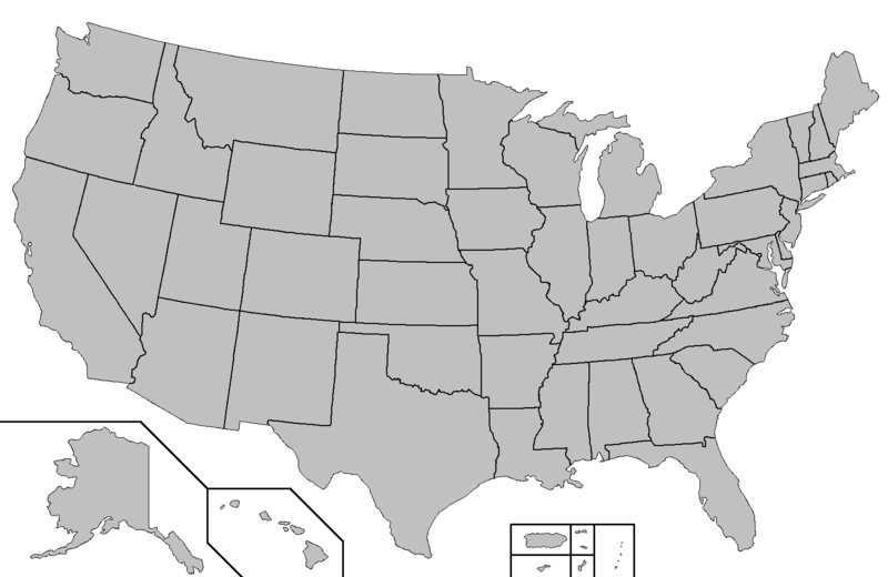
This map was created using this map: Map of USA with county outlines. It shows the 50 states as well as Puerto Rico, American Samoa, Guam, the United States Virgin Islands, and the Northern Mariana Islands.
授權條款

|
此作品為自由軟體;您可依自由軟體基金會所發表的GNU通用公共授權條款的條款散佈與/或修改,無論您依據的是本授權條款的第2版本或之後的任何版本。本作品發佈的目的是希望可以提供幫助,但不負任何擔保責任;亦無隱含對適售性或特定用途的適用性的情形擔保。請參考GNU通用公共授權條款的第2版與第3版。 |
derivative works
Derivative works of this file:
檔案歷史
點選日期/時間以檢視該時間的檔案版本。
| 日期/時間 | 縮圖 | 尺寸 | 用戶 | 備註 | |
|---|---|---|---|---|---|
| 目前 | 2006年7月4日 (二) 04:29 | | 1,513 × 983(80 KB) | Zntrip | This map was created using this map: [http://en.wikipedia.org/wiki/Image:Map_of_USA_with_county_outlines.png Map of USA with county outlines]. It shows the 50 states as well as Puerto Rico, American Samoa, Guam, the United States Virgin Islands, and the N |
檔案用途
沒有使用此檔案的頁面。
全域檔案使用狀況
以下其他 wiki 使用了這個檔案:
- en.wikipedia.org 的使用狀況