
File:Oceans around British Isles satellite image location map.jpg
預覽大小:496 × 599 像素。 其他解析度:199 × 240 像素 | 397 × 480 像素 | 636 × 768 像素 | 848 × 1,024 像素 | 1,654 × 1,998 像素。
原始檔案 (1,654 × 1,998 像素,檔案大小:242 KB,MIME 類型:image/jpeg)
| 描述 |
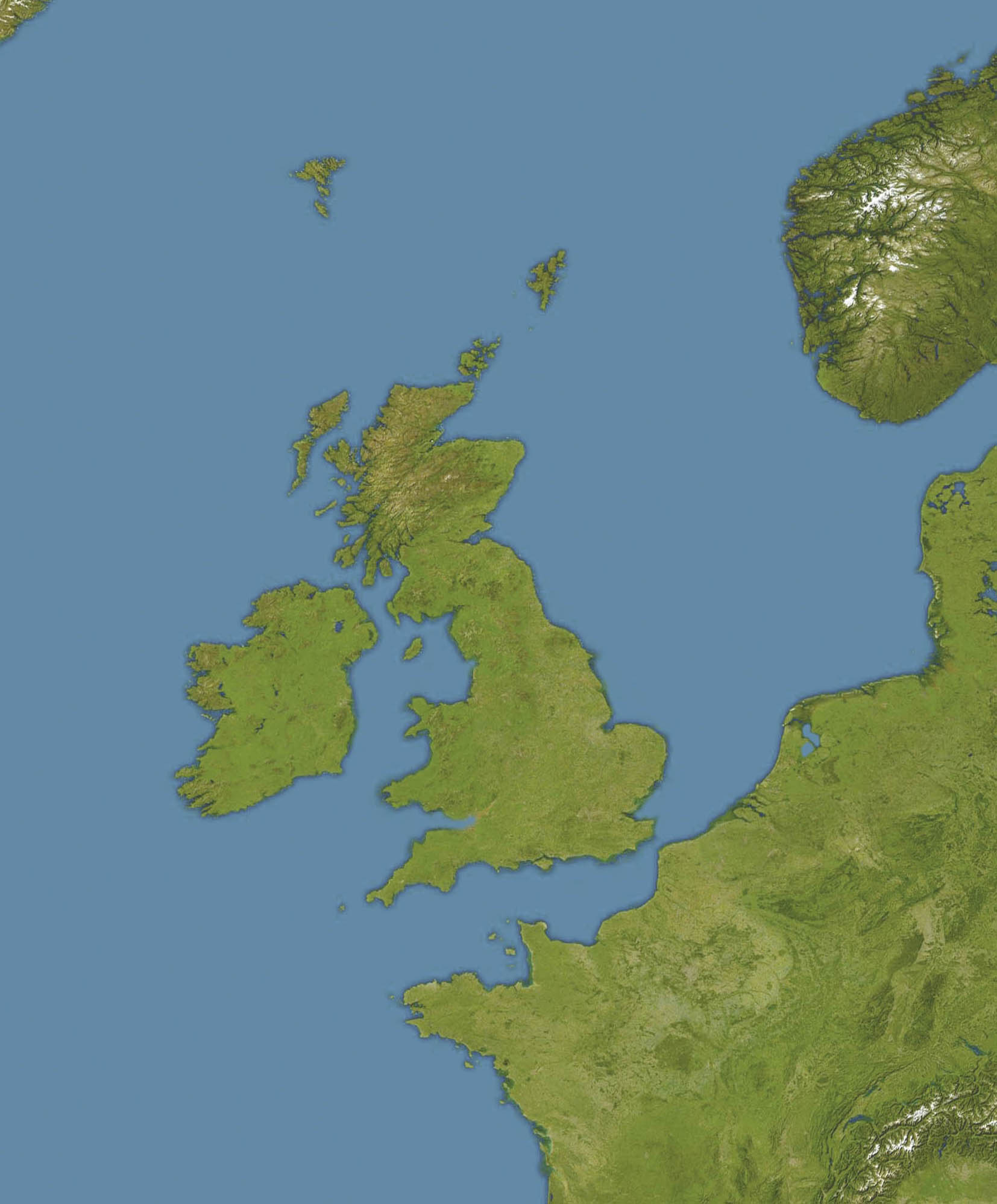
English: Location map of oceans around the United Kingdom and Ireland
Equirectangular projection, N/S stretching 150 %. Geographic limits of the map:
|
| 日期 |
19 December 2008 |
| 來源 |
Transferred from en.wikipedia |
| 作者 | Original uploader was Bellhalla at en.wikipedia |
| 授權許可 (重用此檔案) |
PD-AUTHOR. |
| 其他版本 |

授權條款
| 此作品已由其作者,英文維基百科的Bellhalla,釋出至公有領域。此授權條款在全世界均適用。 這可能在某些國家不合法,如果是的話: Bellhalla授予任何人有權利使用此作品於任何用途,除受法律約束外,不受任何限制。 |
原始上傳日誌
The original description page was here. All following user names refer to en.wikipedia.
- 2008-12-19 17:59 Bellhalla 1654×1998× (247419 bytes) {{Information |Description={{en|Location map of oceans around the [[United Kingdom]] and [[Ireland]] Equirectangular projection, N/S stretching 150 %. Geographic limits of the map: * N: 65° N * S: 45° N * W: 15° W * E: 10° E }} |Source=own work, cropp
檔案歷史
點選日期/時間以檢視該時間的檔案版本。
| 日期/時間 | 縮圖 | 尺寸 | 用戶 | 備註 | |
|---|---|---|---|---|---|
| 目前 | 2009年6月5日 (五) 12:59 | | 1,654 × 1,998(242 KB) | Obersachse | {{Information |Description={{en|''no original description''}} |Source=Transferred from [http://en.wikipedia.org en.wikipedia]<br/> (Original text : ''own work, cropped version of en::File:Europe satellite image location map.jpg, which is a cropped a |
檔案用途
下列3個頁面有用到此檔案:
全域檔案使用狀況
以下其他 wiki 使用了這個檔案:
- ar.wikipedia.org 的使用狀況
- ceb.wikipedia.org 的使用狀況
- de.wikipedia.org 的使用狀況
- en.wikipedia.org 的使用狀況
- RMS Alcantara (1913)
- Second Battle of Cape Finisterre
- SS Athenia (1922)
- SS Arandora Star
- Anton Dohrn Seamount
- SS Assyrian (1914)
- SS Empire Simba
- SS Empire Adventure
- Module:Location map/data/British Isles Oceans/doc
- Hasselwood Rock
- SS Crown Arun
- SS Gairsoppa
- Action of 29 February 1916
- SS Clan Matheson (1919)
- Helen's Reef
- SS Western Maid
- MV Scantic
- SS Leander (1925)
- SS Iserlohn (1909)
- SS Stakesby (1930)
- SS Lambridge
- SS Norjerv
- SS Pengreep
- SS Wairuna
- SS Almeda Star
- SS Creekirk
- Rescue of Roger Mallinson and Roger Chapman
- SS Oropesa (1919)
- SS Mohamed Ali El-Kebir
- Heinz Schnabel and Harry Wappler escape attempt
- Module:Location map/data/British Isles Oceans
- Hebrides Terrace Seamount
- eo.wikipedia.org 的使用狀況
- fa.wikipedia.org 的使用狀況
- ja.wikipedia.org 的使用狀況
- kn.wikipedia.org 的使用狀況
- pt.wikipedia.org 的使用狀況
- si.wikipedia.org 的使用狀況
- uk.wikipedia.org 的使用狀況
檢視此檔案的更多全域使用狀況。