
File:P-Africa.svg

此 SVG 檔案的 PNG 預覽的大小:609 × 599 像素。 其他解析度:244 × 240 像素 | 488 × 480 像素 | 781 × 768 像素 | 1,041 × 1,024 像素 | 2,081 × 2,048 像素 | 1,123 × 1,105 像素。
原始檔案 (SVG 檔案,表面大小:1,123 × 1,105 像素,檔案大小:336 KB)
摘要
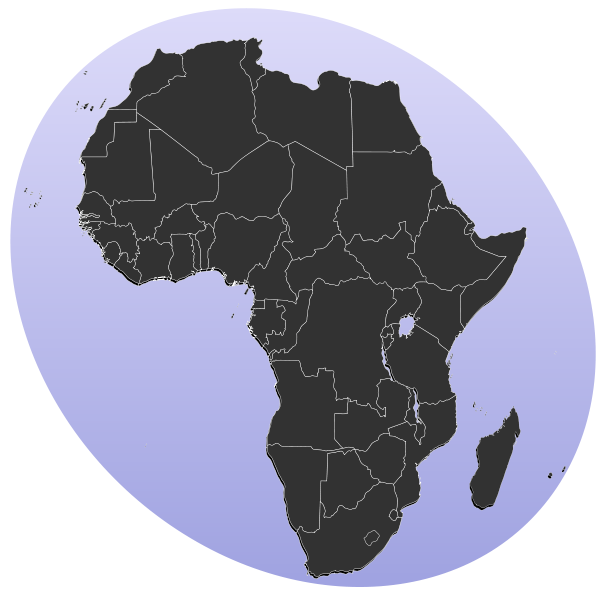
| 描述 | Blank map of Africa Detailed SVG map with grouping enabled to connect all non-contiguous parts of a country's territory for easy colouring. Smaller countries can also be represented by larger circles to show their data easier. All countries are tagged by their ISO code. A thorough description of use and other instructions can be found on the instruction page for the World map. The circles used to mark small countries have been reduceed in size compared to BlankMap-World6.svg, also Gambia does not have a circle in this version. For completion, per en:Africa#Territories and regions, Madeira (pt-30), Canary Islands (es-cn), Réunion (re), Mayotte (yt) and Saint Helena (sh) have been added to the map. Ceuta and Melilla were not added since they don't exist in BlankMap-World6.svg. To make these territories transparent simply use the style .sh, .pt-30, .es-cn, .yt, .re {opacity: 0;} |
| 日期 | (UTC) |
| 來源 |
本檔案衍生自: BlankMap-Africa.svg: |
| 作者 |
|
| SVG開發 |
授權條款
| 此作品已由其作者,Lokal_Profil,釋出至公有領域。此授權條款在全世界均適用。 這可能在某些國家不合法,如果是的話: |
原始上傳日誌
This image is a derivative work of the following images:
- File:BlankMap-Africa.svg licensed with PD-user
- 2011-11-08T13:50:11Z Htonl 1000x1000 (188219 Bytes) South Sudan has been allocated ISO code SS; change class and id correspondingly
- 2011-07-09T21:38:33Z Lokal_Profil 1000x1000 (188235 Bytes) Fixed code. Essentialy reverted and readded south sudan manually
- 2011-07-09T17:09:06Z Seb az86556 1000x1000 (189357 Bytes) +South Sudan
- 2010-07-18T16:04:42Z Stephen Morley 1000x1000 (189216 Bytes) Fixed errors that made SVG invalid
- 2009-09-22T16:22:54Z Lokal_Profil 1000x1000 (188987 Bytes) Reverted to version as of 00:54, 3 April 2008; the new map contains none of the iso code and css abilities of the original
- 2009-09-22T15:11:08Z NuclearVacuum 1000x1000 (360040 Bytes) minor change
- 2009-09-22T15:06:20Z NuclearVacuum 1000x1000 (360239 Bytes) Fixed map so it shows surrounding countries as well as making the code valid
- 2008-04-03T00:54:00Z Lokal_Profil 1000x1000 (188987 Bytes) reunion, saint helena, madeira and canary islands (mayotte already in) added for completion
- 2008-04-01T00:21:58Z Lokal_Profil 1000x1000 (185868 Bytes) Made circles smaller, and circular. They were the right size for the world map but to big for the Africa only map
- 2008-03-31T23:55:20Z Lokal_Profil 1000x1000 (185877 Bytes) Removed circle for gambia, not needed for Africa only map
- 2008-03-24T03:09:01Z Lokal_Profil 1000x1000 (186084 Bytes) {{Information |Description=Blank map of Africa Detailed SVG map with grouping enabled to connect all non-contiguous parts of a country's territory for easy colouring. Smaller countries can also be represented by larger circl
Uploaded with derivativeFX
檔案歷史
點選日期/時間以檢視該時間的檔案版本。
| 日期/時間 | 縮圖 | 尺寸 | 用戶 | 備註 | |
|---|---|---|---|---|---|
| 目前 | 2012年1月18日 (三) 13:31 | | 1,123 × 1,105(336 KB) | Amirki | סיני |
| 2012年1月17日 (二) 19:22 |  | 1,079 × 1,068(337 KB) | Amirki | . | |
| 2012年1月17日 (二) 19:20 |  | 1,000 × 1,000(337 KB) | Amirki | == {{int:filedesc}} == {{Information |Description=Blank map of Africa Detailed SVG map with grouping enabled to connect all non-contiguous parts of a country's territory for easy colouring. Smaller countries can also be represented by larger circles to s |
檔案用途
下列3個頁面有用到此檔案:
全域檔案使用狀況
以下其他 wiki 使用了這個檔案:
- als.wikipedia.org 的使用狀況
- be-tarask.wikipedia.org 的使用狀況
- bg.wikipedia.org 的使用狀況
- Африка
- Серенгети
- Египет
- Мозамбик
- Ангола
- Древен Египет
- Кампала
- Сервал
- Нок
- Северен жираф
- Огун
- Нигерия
- Орания
- Хаутенг
- Бенин
- Демократична република Конго
- Кабо Верде
- Намибия
- Танзания
- Архаичен период на Египет
- Ново царство
- Сеута
- Бушмени
- Танжер
- Птах
- Майот
- Муамар Кадафи
- Канарски острови
- Сръчен човек
- Мелиля
- Реюнион
- Сехмет
- Френска Западна Африка
- Сирт
- Карнак
- Книга на мъртвите (Древен Египет)
- Арабски халифат
檢視此檔案的更多全域使用狀況。