
File:Toppmeyer Site.jpg
預覽大小:800 × 532 像素。 其他解析度:320 × 213 像素 | 640 × 426 像素 | 1,024 × 681 像素 | 1,280 × 851 像素 | 2,560 × 1,702 像素 | 6,016 × 4,000 像素。
原始檔案 (6,016 × 4,000 像素,檔案大小:5.35 MB,MIME 類型:image/jpeg)
| 拍攝地點 | | 位於此地的本圖片與其他圖片: OpenStreetMap |
|---|
| 目標地點 | | 位於此地的本圖片與其他圖片: OpenStreetMap |
|---|
| 描述 |
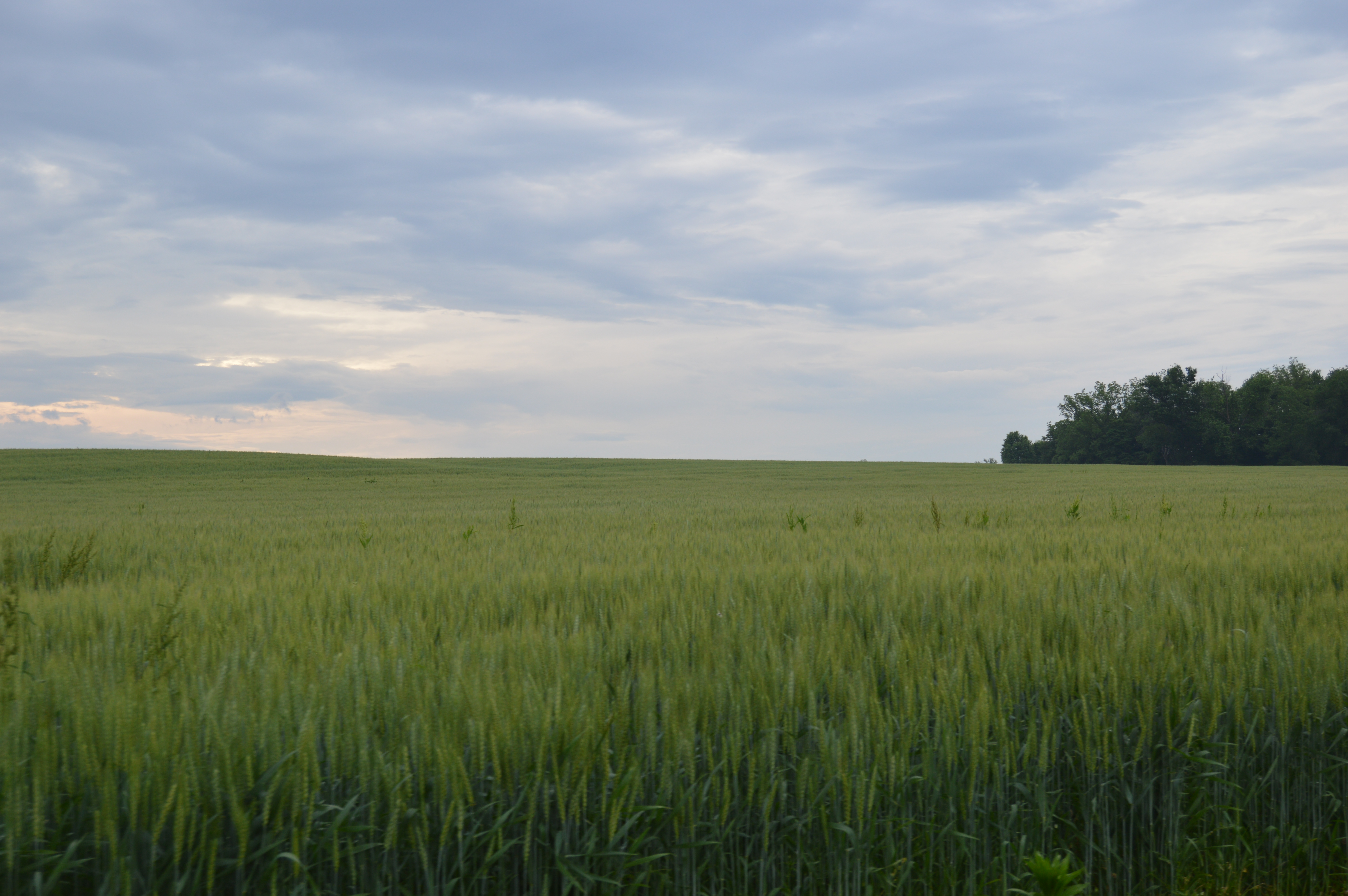
English: Fields at the Toppmeyer Site, located on the western side of Quarry Road southeast of Brussels in Point Precinct, Calhoun County, Illinois, United States. As an important archaeological site, it is listed on the National Register of Historic Places along with the adjacent Golden Eagle earthwork site. |
||
| 日期 | 攝於2014年五月26日 | ||
| 來源 | 自己的作品 | ||
| 作者 | Nyttend | ||
| 授權許可 (重用此檔案) |
|
檔案歷史
點選日期/時間以檢視該時間的檔案版本。
| 日期/時間 | 縮圖 | 尺寸 | 用戶 | 備註 | |
|---|---|---|---|---|---|
| 目前 | 2014年6月4日 (三) 16:21 | | 6,016 × 4,000(5.35 MB) | Nyttend | {{NRHP|79000816}} {{Location|38|54|45|N|90|31|4|W}} {{Object location|38|54|47|N|90|31|8|W}} {{Information |Description={{en|Fields at the {{w|Golden Eagle-Toppmeyer Site|Toppmeyer Site}}, located on the western side of Quarry Road southeast of {{w|Bru... |
檔案用途
下列頁面有用到此檔案:
全域檔案使用狀況
以下其他 wiki 使用了這個檔案:
- de.wikipedia.org 的使用狀況
- en.wikipedia.org 的使用狀況
- es.wikipedia.org 的使用狀況
- fr.wikipedia.org 的使用狀況
- www.wikidata.org 的使用狀況