
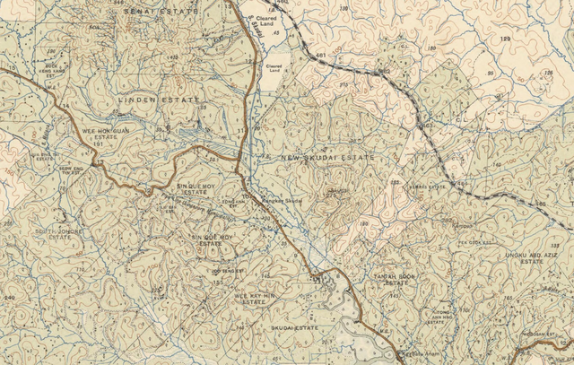
File:1926-1938士姑来地图.png

預覽大小:800 × 509 像素。 其他解析度:320 × 204 像素 | 640 × 407 像素 | 1,024 × 652 像素 | 1,570 × 999 像素。
原始檔案 (1,570 × 999 像素,檔案大小:3.73 MB,MIME 類型:image/png)
摘要
| 描述 |
中文:1926-1938士姑来地图 |
| 日期 | |
| 來源 |
原始出版物:[Kuala Lumpur]: F.M.S. Survey, 1925-1938 |
| 作者 |
Federated Malay States. Survey Department |
| 授權許可 (重用此檔案) |
Created/Published Date is Before 1955(澳洲版权法规) |
授权协议
This image is protected by Crown Copyright because it is owned by the Australian Government or that of the states or territories, and is in the public domain because it was created or published prior to 1974 and the copyright has therefore expired. The government of Australia has declared that the expiration of Crown Copyrights applies worldwide. This has been confirmed by correspondence received by the Volunteer Response Team (Ticket:2017062010010417).
|
 |
檔案歷史
點選日期/時間以檢視該時間的檔案版本。
| 日期/時間 | 縮圖 | 尺寸 | 用戶 | 備註 | |
|---|---|---|---|---|---|
| 目前 | 2019年8月18日 (日) 04:54 | | 1,570 × 999(3.73 MB) | Dotalim0204 | 使用文件上传向导上传以前的公有领域作品 |
檔案用途
下列頁面有用到此檔案: