
File:California 113.svg

此 SVG 檔案的 PNG 預覽的大小:449 × 401 像素。 其他解析度:269 × 240 像素 | 538 × 480 像素 | 860 × 768 像素 | 1,147 × 1,024 像素 | 2,293 × 2,048 像素。
原始檔案 (SVG 檔案,表面大小:449 × 401 像素,檔案大小:12 KB)
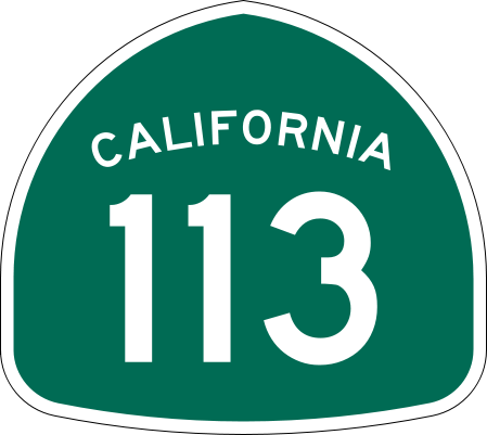
| 描述 | Vector image of a 24 in by 25 in (600 mm by 635 mm) California State Route shield. Colors are from [1] (Pantone Green 342), converted to RGB by [2]. The outside border has a width of 1 (1/16 in) and a color of black so it shows up; in reality, signs have no outside border. |
| 日期 | |
| 來源 | Made to the specifications of the 1971 Caltrans sign drawing (still in use). Uses the Roadgeek 2005 fonts. (United States law does not permit the copyrighting of typeface designs, and the fonts are meant to be copies of a U.S. Government-produced work anyway.) |
| 作者 | SPUI |
| 其他版本 |
|
| SVG開發 | 本向量圖形使用Adobe Illustrator創作。 |
This file is in the public domain because it comes from the California Manual on Uniform Traffic Control Devices, sign number G28-2 (CA), which states specifically in its introduction, on page 44 that:
|
檔案歷史
點選日期/時間以檢視該時間的檔案版本。
| 日期/時間 | 縮圖 | 尺寸 | 用戶 | 備註 | |
|---|---|---|---|---|---|
| 目前 | 2006年3月20日 (一) 18:06 | | 449 × 401(12 KB) | SPUI~commonswiki | {{spuiother}} 28 in by 25 in California State Route shield, made to the specifications of the [http://www.dot.ca.gov/hq/traffops/signtech/signdel/specs/G28-2.pdf 1971 Caltrans sign drawing] (still in use). Uses the [http://www.triskele.com/fonts/index.htm |
檔案用途
下列2個頁面有用到此檔案:
全域檔案使用狀況
以下其他 wiki 使用了這個檔案:
- da.wikipedia.org 的使用狀況
- en.wikipedia.org 的使用狀況
- Sacramento River
- Yolo County, California
- Solano County, California
- Sutter County, California
- Northern California
- California State Route 99
- California State Route 113
- List of highways numbered 113
- California State Route 61
- California State Route 12
- Wikipedia:WikiProject U.S. Roads/Redirects/California
- California State Route 114
- California State Route 45
- Interstate 80 in California
- Interstate 5 in California
- List of state highways in California
- Sacramento metropolitan area
- Business routes of Interstate 5
- List of crossings of the Sacramento River
- User:Shannon1/Sandbox
- California county routes in zone E
- Template:Sacramento River map
- User:Tv's emory/Sandbox/List of state highways in California
- en.wikivoyage.org 的使用狀況
- es.wikipedia.org 的使用狀況
- fr.wikipedia.org 的使用狀況
- it.wikipedia.org 的使用狀況
- ja.wikipedia.org 的使用狀況
檢視此檔案的更多全域使用狀況。