
File:FS ETR470 Cisalpino am Unterer Hauenstein.jpg
預覽大小:800 × 516 像素。 其他解析度:320 × 207 像素 | 640 × 413 像素 | 1,024 × 661 像素 | 1,280 × 826 像素 | 2,560 × 1,653 像素 | 3,183 × 2,055 像素。
原始檔案 (3,183 × 2,055 像素,檔案大小:1.61 MB,MIME 類型:image/jpeg)
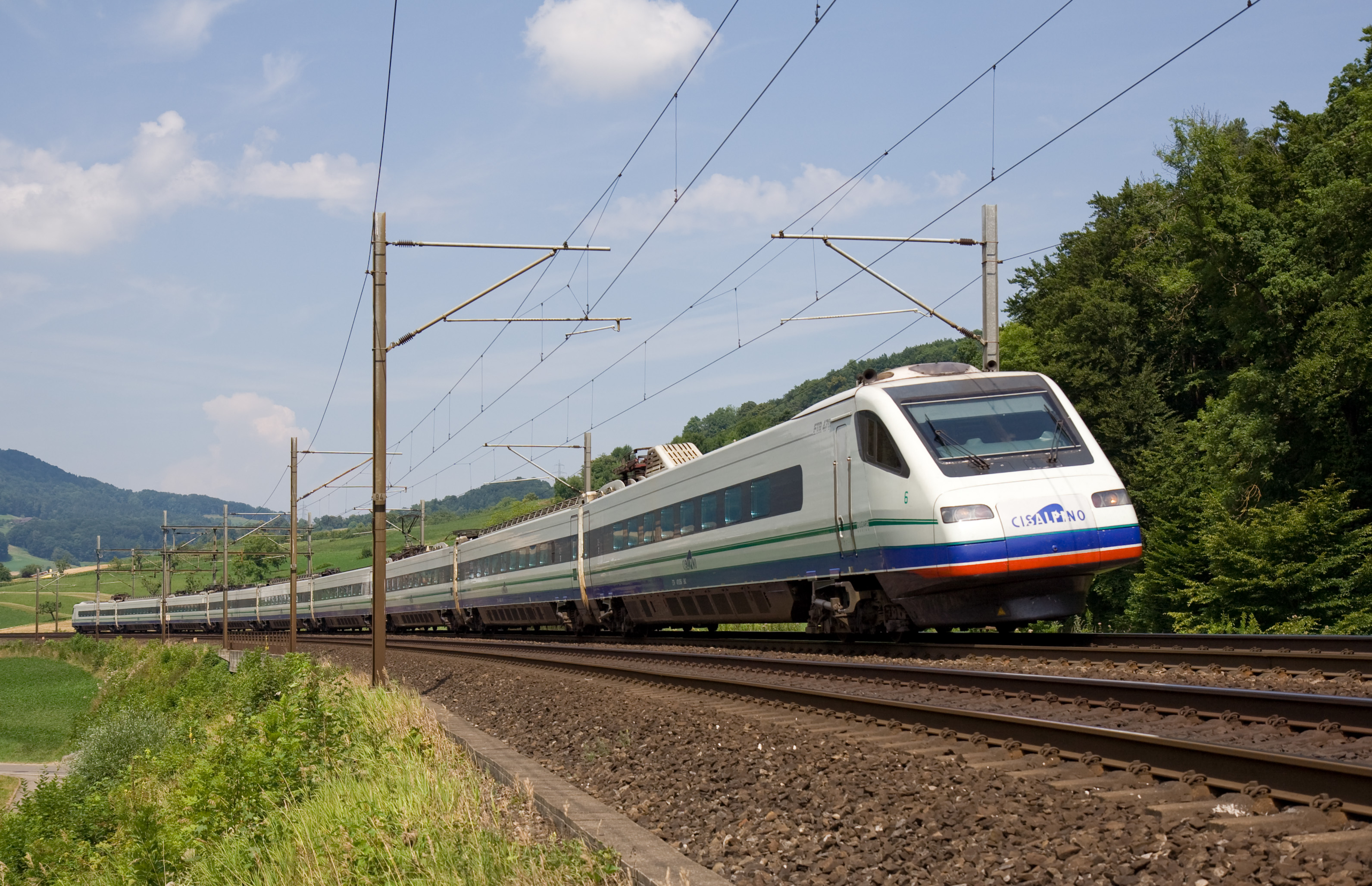
| 描述 | FS ETR470 Cisalpino am unteren Hauenstein |
| 日期 | |
| 來源 | http://bahnbilder.ch/picture/2124 |
| 作者 | Kabelleger / David Gubler (http://www.bahnbilder.ch) |
| 拍攝地點 | | 位於此地的本圖片與其他圖片: OpenStreetMap |
|---|
|
If you want to use this file commercially, you have to do this under the terms of the GFDL.
To provide attribution, credit the author as the uploader's username with a link to his userpage. |

檔案歷史
點選日期/時間以檢視該時間的檔案版本。
| 日期/時間 | 縮圖 | 尺寸 | 用戶 | 備註 | |
|---|---|---|---|---|---|
| 目前 | 2008年12月23日 (二) 12:55 | | 3,183 × 2,055(1.61 MB) | Dodo von den Bergen | {{Information |Description=FS ETR470 Cisalpino am Unterer Hauenstein |Source=http://bahnbilder.ch/picture/2124 |Date=30.7.2008 12:50 |Author=David Gubler (http://www.bahnbilder.ch) |Permission= |other_versions= }} {{GFDL_or_cc-by-nc-sa/2.5}} [[Category:SB |
檔案用途
下列頁面有用到此檔案:
全域檔案使用狀況
以下其他 wiki 使用了這個檔案:
- fr.wikipedia.org 的使用狀況
- it.wikipedia.org 的使用狀況
- nl.wikipedia.org 的使用狀況
- pl.wikipedia.org 的使用狀況
- pt.wikipedia.org 的使用狀況