
File:Map of Tateyama Bay.png

預覽大小:800 × 508 像素。 其他解析度:320 × 203 像素 | 640 × 407 像素 | 1,024 × 651 像素 | 1,280 × 814 像素 | 1,693 × 1,076 像素。
原始檔案 (1,693 × 1,076 像素,檔案大小:1.64 MB,MIME 類型:image/png)
摘要
| 描述 |
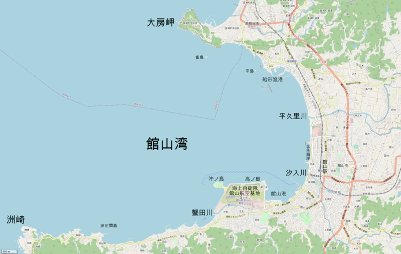
日本語: 館山湾地図。千葉県南房総市、館山市。
English: Map of Tateyama Bay in Minami-Boso and Tateyama, Chiba pref Japan. |
| 日期 | |
| 來源 | OpenStreetMap |
| 作者 | OpenStreetMap contributors |
授權條款
| This work contains information from OpenStreetMap, which is made available under the Open Database License (ODbL).
The ODbL does not require any particular license for maps produced from ODbL data. Prior to 1 August 2020, map tiles produced by the OpenStreetMap Foundation were licensed under the CC-BY-SA-2.0 license. Maps produced by other people may be subject to other licences. |
檔案歷史
點選日期/時間以檢視該時間的檔案版本。
| 日期/時間 | 縮圖 | 尺寸 | 用戶 | 備註 | |
|---|---|---|---|---|---|
| 目前 | 2021年1月20日 (三) 10:24 | | 1,693 × 1,076(1.64 MB) | Krorokeroro | added place names |
| 2021年1月19日 (二) 17:05 |  | 1,693 × 1,076(1.64 MB) | Krorokeroro | Uploaded a work by OpenStreetMap contributors from OpenStreetMap with UploadWizard |
檔案用途
下列頁面有用到此檔案: