
File:Peru Provinces.png

預覽大小:463 × 599 像素。 其他解析度:185 × 240 像素 | 371 × 480 像素 | 593 × 768 像素 | 791 × 1,024 像素 | 1,632 × 2,112 像素。
原始檔案 (1,632 × 2,112 像素,檔案大小:92 KB,MIME 類型:image/png)
摘要
| 描述 |
|
||
| 日期 | 2006年十二月8日 (原始上傳日期) | ||
| 來源 | 无法识别来源。根据版权声明推断为其自己的作品。 | ||
| 作者 | 无法识别作者。根据版权声明推断作者为Electionworld。 |

授權條款
| 我,此作品的版權所有人,釋出此作品至公共領域。此授權條款在全世界均適用。 這可能在某些國家不合法,如果是的話: 我授予任何人有權利使用此作品於任何用途,除受法律約束外,不受任何限制。 |
檔案歷史
點選日期/時間以檢視該時間的檔案版本。
| 日期/時間 | 縮圖 | 尺寸 | 用戶 | 備註 | |
|---|---|---|---|---|---|
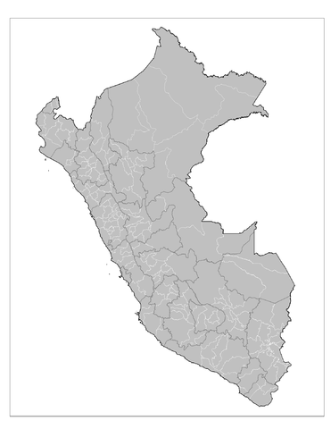
| 目前 | 2008年8月22日 (五) 21:15 | | 1,632 × 2,112(92 KB) | Rarelibra | {{Information |Description= Map of the provinces of Peru |Source= |Date= 8/22/08 |Author= Rarelibra |Permission=Public Domain |other_versions= }} Category:Maps of Peru |
| 2006年12月8日 (五) 21:30 |  | 816 × 1,056(34 KB) | Electionworld | {{ew|en|Rarelibra}} Map of the provinces of Peru. Created by Rarelibra 16:02, 30 August 2006 (UTC) for public domain use. Created using MapInfo Professional v8.5 and various mapping resources. == Licensing == {{PD-self}} |
檔案用途
下列頁面有用到此檔案:
全域檔案使用狀況
以下其他 wiki 使用了這個檔案:
- ca.wikipedia.org 的使用狀況
- en.wikipedia.org 的使用狀況
- fr.wikipedia.org 的使用狀況
- ja.wikipedia.org 的使用狀況
- ka.wikipedia.org 的使用狀況
- ko.wikipedia.org 的使用狀況
- mk.wikipedia.org 的使用狀況
- pt.wikipedia.org 的使用狀況
- xmf.wikipedia.org 的使用狀況