
File:Republic of Artsakh (orthographic projection) v1.png
預覽大小:603 × 599 像素。 其他解析度:242 × 240 像素 | 617 × 613 像素。
原始檔案 (617 × 613 像素,檔案大小:120 KB,MIME 類型:image/png)
_v1.png?uselang=zh-mo)
_v1.png?uselang=zh-mo)
_v1.png?action=history&uselang=zh-mo)
_v1.png)
| 描述 |
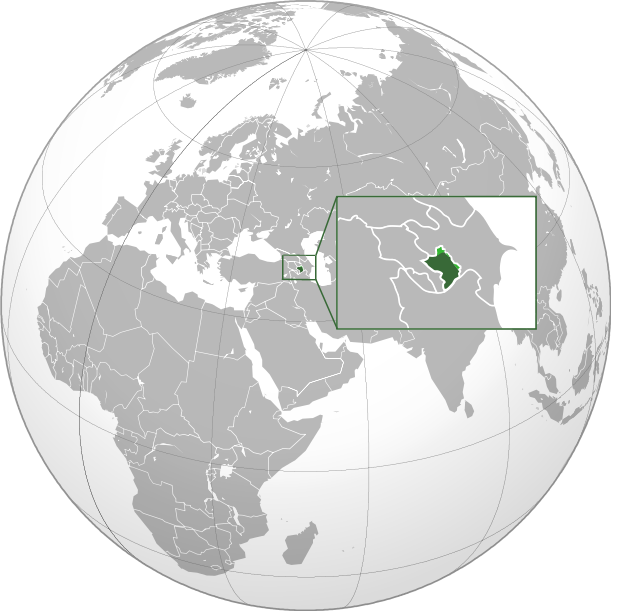
English: Orthographic Projection Map of the Nagorno-Karabakh Republic Dark Green represents areas under ethnic Armenian military control, light green represents areas claimed by the republic, under Azerbaijan government control. |
| 日期 | (UTC) |
| 來源 | |
| 作者 |
|
.svg)
| 這是一張修飾過的圖片,即本圖片是用軟體修改過後的版本,修改的方式或內容有:made the location of NKR more clear on the world map。原版圖片來源:Nagorno-Karabakh Republic (orthographic projection).svg。修改者:Ashot Arzumanyan。
|
| 此檔案不具有著作權,屬於公有領域,因為其所包含之内容均為公共財產且沒有明確的原始作者資訊。 |
原始上傳日誌
This image is a derivative work of the following images:
- File:Nagorno-Karabakh_Republic_(orthographic_projection).svg licensed with PD-ineligible
- 2010-02-23T00:53:47Z Kentronhayastan 550x550 (594491 Bytes) cleaned up the fixed borders
- 2010-02-21T11:04:39Z Dinamik 550x550 (655950 Bytes) some more information about territory
- 2010-02-12T12:42:58Z Justass 550x550 (586396 Bytes) Reverted to version as of 10:24, 27 January 2010
- 2010-02-12T12:40:31Z Maulucioni 550x550 (105958 Bytes) to png
- 2010-01-27T10:24:54Z Kentronhayastan 550x550 (586396 Bytes) adjusted map size
- 2010-01-27T10:19:16Z Kentronhayastan 550x550 (586344 Bytes) {{Information |Description={{en|1=Orthographic Projection Map of the Nagorno-Karabakh Republic}} |Source=Ssolbergj's work |Author=kentronhayastan, Ssolbergj |Date= |Permission= |other_versions= }}
Uploaded with derivativeFX
檔案歷史
點選日期/時間以檢視該時間的檔案版本。
| 日期/時間 | 縮圖 | 尺寸 | 用戶 | 備註 | |
|---|---|---|---|---|---|
| 目前 | 2011年1月11日 (二) 18:46 | | 617 × 613(120 KB) | Ashot Arzumanyan | {{Information |Description={{en|1=Orthographic Projection Map of the Nagorno-Karabakh Republic}} Dark Green represents areas under ethnic Armenian military control, light green represents areas claimed by the republic, under Azerbaijan government control. |
檔案用途
沒有使用此檔案的頁面。
全域檔案使用狀況
以下其他 wiki 使用了這個檔案:
- en.wikipedia.org 的使用狀況
- fa.wikipedia.org 的使用狀況
- hy.wikipedia.org 的使用狀況
_v1.png)