
File:00 Mile Marker on Chesapeake and Ohio canal.jpg
預覽大小:800 × 533 像素。 其他解析度:320 × 213 像素 | 640 × 427 像素 | 1,024 × 683 像素 | 1,280 × 853 像素 | 2,560 × 1,707 像素 | 4,896 × 3,264 像素。
原始檔案 (4,896 × 3,264 像素,檔案大小:10.11 MB,MIME 類型:image/jpeg)
摘要
| 描述 |
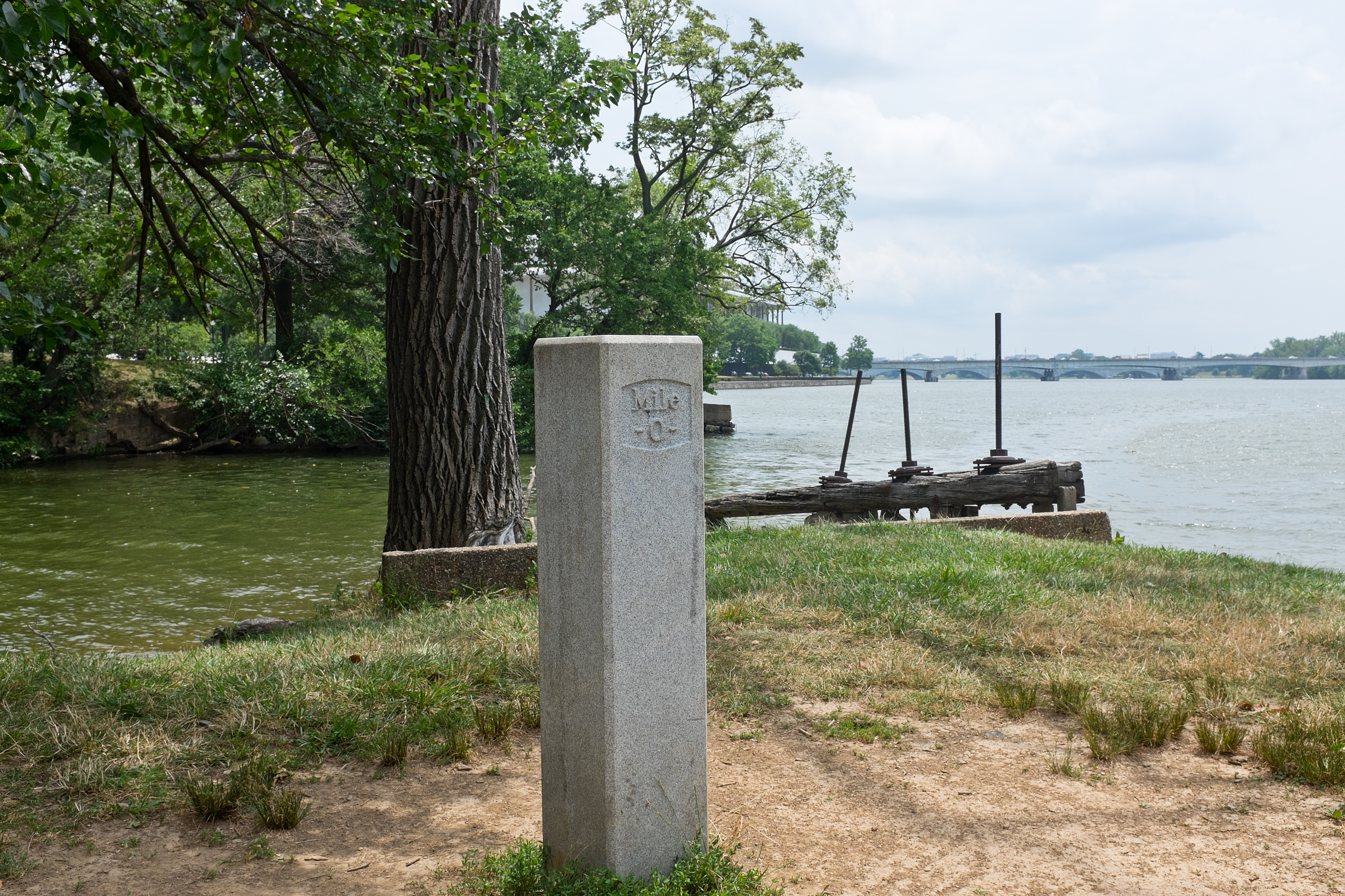
English: 0 (Zero) mile marker, the start of the Chesapeake and Ohio Canal. The remains of the waste weir is in the background. The tidewater lock itself is not in the picture (it would be off the right side, continuing behind the camera). Also note the Kennedy Center in the background, and the Roosevelt Memorial Bridge (US Route 50 and Interstate 66) crossing the Potomac. |
| 來源 | 自己的作品 |
| 作者 | Bonnachoven |
| 拍攝地點 | | 位於此地的本圖片與其他圖片: OpenStreetMap |
|---|
授權條款
我,本作品的著作權持有者,決定用以下授權條款發佈本作品:
| 此檔案在創用CC CC0 1.0 通用公有領域貢獻宣告之下分發。 | |
| 在此宣告之下分發本作品者,已依據各國著作權法,在全世界放棄其對本作品所擁有的著作權及所有相關相似的法律權利,從而將本作品貢獻至公有領域。您可以複製、修改、分發和演示該作品,用於任何商業用途,所有這些都不需要請求授權。
|
檔案歷史
點選日期/時間以檢視該時間的檔案版本。
| 日期/時間 | 縮圖 | 尺寸 | 使用者 | 備註 | |
|---|---|---|---|---|---|
| 目前 | 2014年7月4日 (五) 00:07 | | 4,896 × 3,264(10.11 MB) | Bonnachoven | {{Information |Description ={{en|1=0 (Zero) mile marker, the start of the Chesapeake and Ohio Canal, at the tidewater lock on the Potomac River. (Note the Kennedy Center in the background, and the Roosevelt Memorial Bridge (US Route 50 and Interstat... |
檔案用途
下列頁面有用到此檔案: