
File:California 89.svg

此 SVG 檔案的 PNG 預覽的大小:385 × 401 像素。 其他解析度:230 × 240 像素 | 461 × 480 像素 | 737 × 768 像素 | 983 × 1,024 像素 | 1,966 × 2,048 像素。
原始檔案 (SVG 檔案,表面大小:385 × 401 像素,檔案大小:14 KB)
| 描述 |
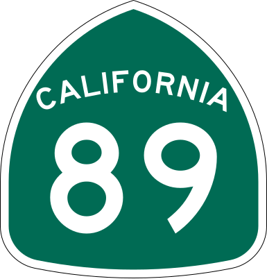
California State Route 89 shield.
|
| 日期 | |
| 來源 | Made to the specifications of the 1971 Caltrans sign drawing (still in use). Uses the Roadgeek 2005 fonts. (United States law does not permit the copyrighting of typeface designs, and the fonts are meant to be copies of a U.S. Government-produced work anyway.) |
| 作者 | SPUI |
| 其他版本 |
|
| SVG開發 |
This file is in the public domain because it comes from the California Manual on Uniform Traffic Control Devices, sign number G28-2 (CA), which states specifically in its introduction, on page 44 that:
|
檔案歷史
點選日期/時間以檢視該時間的檔案版本。
| 日期/時間 | 縮圖 | 尺寸 | 使用者 | 備註 | |
|---|---|---|---|---|---|
| 目前 | 2006年3月20日 (一) 16:33 | | 385 × 401(14 KB) | SPUI~commonswiki | |
| 2006年3月20日 (一) 13:49 |  | 385 × 401(14 KB) | SPUI~commonswiki | {{spuiother}} 24 in by 25 in (600 mm by 635 mm) California State Route shield, made to the specifications of the [http://www.dot.ca.gov/hq/traffops/signtech/signdel/specs/G28-2.pdf 1971 Caltrans sign drawing] (still in use). Uses the [http://www.triskele. |
檔案用途
下列2個頁面有用到此檔案:
全域檔案使用狀況
以下其他 wiki 使用了這個檔案:
- arz.wikipedia.org 的使用狀況
- da.wikipedia.org 的使用狀況
- de.wikipedia.org 的使用狀況
- en.wikipedia.org 的使用狀況
- Alpine County, California
- El Dorado County, California
- Mono County, California
- Nevada County, California
- Placer County, California
- Plumas County, California
- Shasta County, California
- Sierra County, California
- Siskiyou County, California
- Tehama County, California
- Northern California
- Pacific Crest Trail
- Wye (rail)
- California State Route 49
- California State Route 299
- Eastern California
- California State Route 90
- California State Route 4
- Wikipedia:WikiProject U.S. Roads/Redirects/California
- Keddie Wye
- California State Route 88
- California State Route 89
- California State Route 28
- California State Route 32
- California State Route 36
- Volcanic Legacy Scenic Byway
- California State Route 44
- California State Route 70
- California State Route 147
- Interstate 80 in California
- Sierra Highway
- California State Route 172
- California State Route 267
- U.S. Route 50 in California
- List of highways numbered 89
- Monitor Pass
- Luther Pass
- Interstate 5 in California
- List of toll roads in the United States
- U.S. Route 395 in California
- Morgan Summit
- List of state highways in California
- Sacramento metropolitan area
檢視此檔案的更多全域使用狀況。