
File:Coney Island beach aerial view.jpg

預覽大小:600 × 600 像素。 其他解析度:240 × 240 像素 | 480 × 480 像素 | 769 × 768 像素 | 1,025 × 1,024 像素 | 1,500 × 1,499 像素。
原始檔案 (1,500 × 1,499 像素,檔案大小:862 KB,MIME 類型:image/jpeg)
| 描述 |
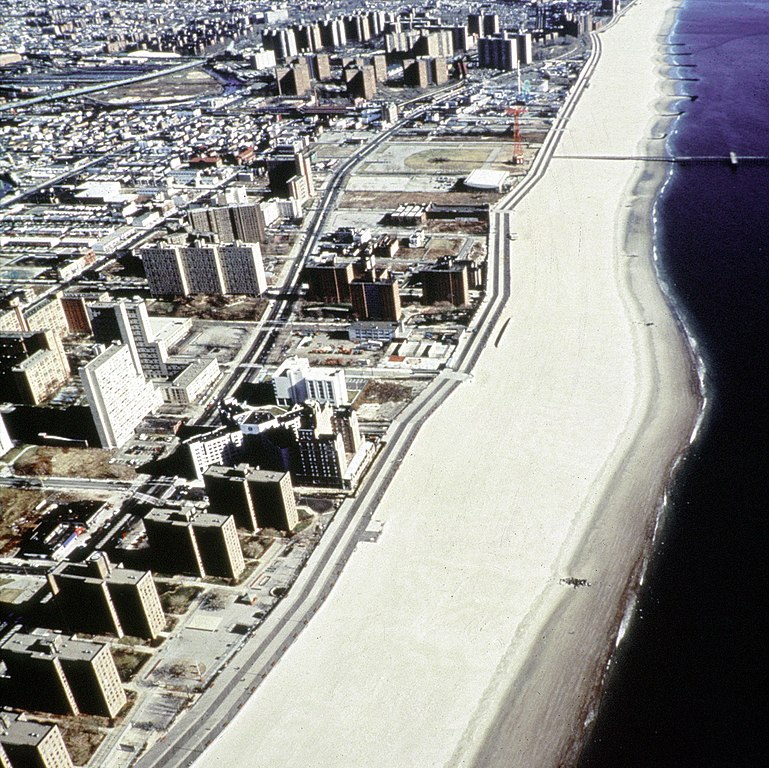
English: Aerial view of the oceanfront of Coney Island, Brooklyn, New York, USA. The photograph appears to be taken from the vicinity of West 32nd Street, looking east. The view extends a short distance beyond Asser Levy Park. |
|||
| 日期 | (Caution: Dates given on the Corps of Engineers website are often incorrect.) | |||
| 來源 |
U.S. Army Corps of Engineers Digital Visual Library Image page Image description page Digital Visual Library home page |
|||
| 作者 | Peter Shugert, U.S. Army Corps of Engineers | |||
| 授權許可 (重用此檔案) |
|
|||
| 圖中地點 | Brooklyn, New York, USA |
| 目標地點 | | 位於此地的本圖片與其他圖片: OpenStreetMap |
|---|
檔案歷史
點選日期/時間以檢視該時間的檔案版本。
| 日期/時間 | 縮圖 | 尺寸 | 使用者 | 備註 | |
|---|---|---|---|---|---|
| 目前 | 2007年4月8日 (日) 23:00 | | 1,500 × 1,499(862 KB) | DanMS | {{Information | Description = {{en|Aerial view of the oceanfront of Coney Island, Brooklyn, New York, USA. The photograph appears to be taken from the vicinity of West 32nd Street, looking east. The view extends a short distance beyond Asser Levy Park. |
檔案用途
下列頁面有用到此檔案:
全域檔案使用狀況
以下其他 wiki 使用了這個檔案:
- af.wikipedia.org 的使用狀況
- ar.wikipedia.org 的使用狀況
- da.wikipedia.org 的使用狀況
- et.wikipedia.org 的使用狀況
- he.wikipedia.org 的使用狀況
- ja.wikipedia.org 的使用狀況
- nl.wikipedia.org 的使用狀況
- sv.wikipedia.org 的使用狀況