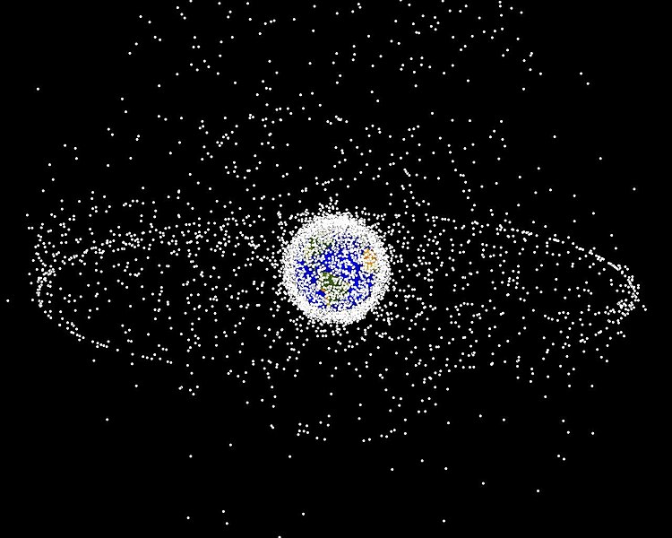
File:Debris-GEO1280.jpg

預覽大小:750 × 600 像素。 其他解析度:300 × 240 像素 | 600 × 480 像素 | 960 × 768 像素 | 1,280 × 1,024 像素。
原始檔案 (1,280 × 1,024 像素,檔案大小:125 KB,MIME 類型:image/jpeg)
檔案歷史
點選日期/時間以檢視該時間的檔案版本。
| 日期/時間 | 縮圖 | 尺寸 | 使用者 | 備註 | |
|---|---|---|---|---|---|
| 目前 | 2005年2月1日 (二) 16:45 |  | 1,280 × 1,024(125 KB) | Srbauer | debris plot by NASA |
檔案用途
下列頁面有用到此檔案:
全域檔案使用狀況
以下其他 wiki 使用了這個檔案:
- af.wikipedia.org 的使用狀況
- an.wikipedia.org 的使用狀況
- ar.wikipedia.org 的使用狀況
- az.wikipedia.org 的使用狀況
- be-tarask.wikipedia.org 的使用狀況
- be.wikipedia.org 的使用狀況
- bn.wikipedia.org 的使用狀況
- ca.wikipedia.org 的使用狀況
- cs.wikipedia.org 的使用狀況
- da.wikipedia.org 的使用狀況
- de.wikipedia.org 的使用狀況
- de.wiktionary.org 的使用狀況
- el.wikipedia.org 的使用狀況
- en.wikipedia.org 的使用狀況
- Earth
- International Space Station
- Geosynchronous orbit
- Geostationary orbit
- Envisat
- Outer space
- Talk:Geostationary orbit
- Planetes
- Kessler syndrome
- Portal:Outer space
- Spacecraft cemetery
- Catcher's Mitt
- Human presence in space
- User talk:Penyulap/staticEnglish
- Space Surveillance Telescope
- User:Ginnybarnes/Spacecraft cemetery
- Portal:World
- User:FreshYoMama/TWA/Earth
- User:FreshYoMama/TWA/Earth/2
- User:Mumuhuohuo
- Draft:Space Congestion
- en.wikinews.org 的使用狀況
- eo.wikipedia.org 的使用狀況
- es.wikipedia.org 的使用狀況
檢視此檔案的更多全域使用狀況。


