
File:Germany Slovakia Locator.png
預覽大小:560 × 599 像素。 其他解析度:224 × 240 像素 | 449 × 480 像素 | 1,000 × 1,070 像素。
原始檔案 (1,000 × 1,070 像素,檔案大小:185 KB,MIME 類型:image/png)
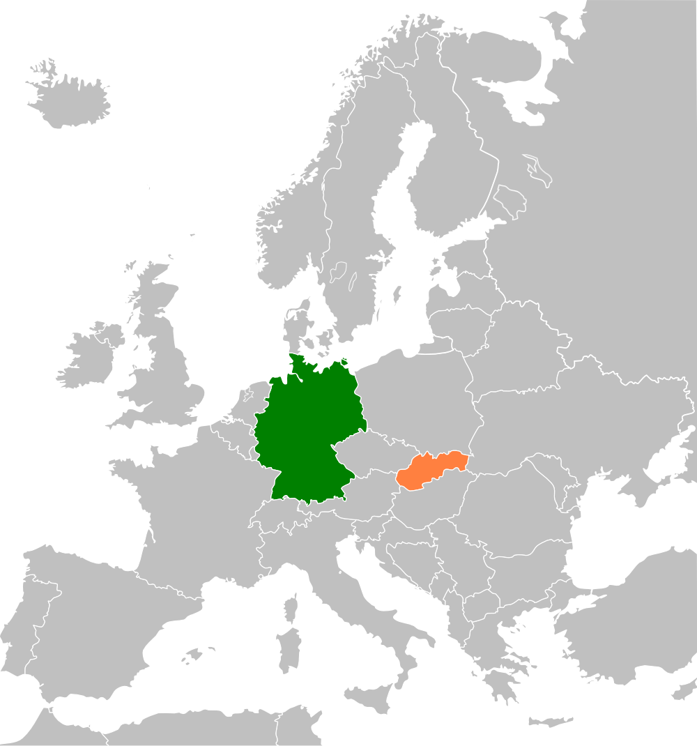
| 描述 | Map of Europe highlighting Germany and Slovakia, for an article on relations between the two countries |
| 日期 | (UTC) |
| 來源 | |
| 作者 |
|
| 這是一張修飾過的圖片,即本圖片是用軟體修改過後的版本,修改的方式或內容有:Highlighted Germany and Slovakia on the map。原版圖片來源:Blank map of Europe cropped.svg。修改者:Aymatth2。
|
我,本作品的著作權持有者,決定用以下授權條款發佈本作品:
此檔案採用創用CC 姓名標示-相同方式分享 2.5 通用版授權條款。
- 您可以自由:
- 分享 – 複製、發佈和傳播本作品
- 重新修改 – 創作演繹作品
- 惟需遵照下列條件:
- 姓名標示 – 您必須指名出正確的製作者,和提供授權條款的連結,以及表示是否有對內容上做出變更。您可以用任何合理的方式來行動,但不得以任何方式表明授權條款是對您許可或是由您所使用。
- 相同方式分享 – 如果您利用本素材進行再混合、轉換或創作,您必須基於如同原先的相同或兼容的條款,來分布您的貢獻成品。
原始上傳日誌
This image is a derivative work of the following images:
- File:Blank_map_of_Europe_cropped.svg licensed with Cc-by-sa-2.5
- 2009-04-30T19:51:36Z Insuranze 645x690 (269667 Bytes) code cleanup
- 2007-06-07T22:58:16Z Revolus 645x690 (540660 Bytes) {{Information | Description=Cropped version of [[:Image:Blank map of Europe.svg|Blank map of Europe.svg]] as descriped by its author. {{en|A blank Map of Europe in SVG format. Every country has an id which is its ISO-3116-1-
Uploaded with derivativeFX
檔案歷史
點選日期/時間以檢視該時間的檔案版本。
| 日期/時間 | 縮圖 | 尺寸 | 使用者 | 備註 | |
|---|---|---|---|---|---|
| 目前 | 2013年2月13日 (三) 22:30 | | 1,000 × 1,070(185 KB) | Muns | colours adjusted |
| 2009年7月23日 (四) 12:30 |  | 2,254 × 2,350(431 KB) | Aymatth2 | {{Information |Description= |Source=*File:Blank_map_of_Europe_cropped.svg |Date=2009-07-23 12:29 (UTC) |Author=*File:Blank_map_of_Europe_cropped.svg: Aymatth2 *derivative work: ~~~ |Permission=see below |other_versions= }} {{RetouchedPicture| |
檔案用途
下列頁面有用到此檔案:
全域檔案使用狀況
以下其他 wiki 使用了這個檔案:
- de.wikipedia.org 的使用狀況
- en.wikipedia.org 的使用狀況
- fa.wikipedia.org 的使用狀況
- he.wikipedia.org 的使用狀況
- uz.wikipedia.org 的使用狀況
- www.wikidata.org 的使用狀況