
File:Jammu and Kashmir locator map.svg

此 SVG 檔案的 PNG 預覽的大小:764 × 600 像素。 其他解析度:306 × 240 像素 | 611 × 480 像素 | 978 × 768 像素 | 1,280 × 1,005 像素 | 2,560 × 2,010 像素 | 2,160 × 1,696 像素。
原始檔案 (SVG 檔案,表面大小:2,160 × 1,696 像素,檔案大小:679 KB)
| 標題 |
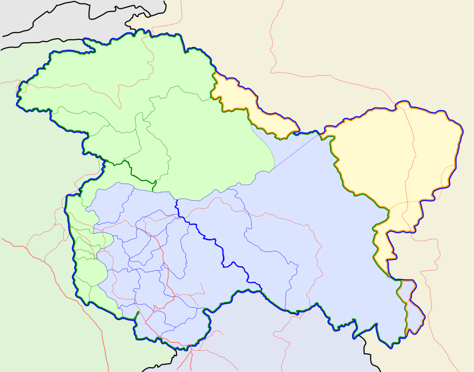
Jammu and Kashmir locator map |
||
| 描寫文 |
Locator map for the state of w:Jammu and Kashmir |
||
| 日期 | |||
| 來源 |
自己的作品 |
||
| 創作作者 |
|
||
| 授權許可 (重用此檔案) |
我,本作品的著作權持有者,決定用以下授權條款發佈本作品: 此檔案採用創用CC 姓名標示-相同方式分享 3.0 未在地化版本授權條款。
|
||
| Geotemporal data | |||
| 描繪日期 | 20世紀下半期和21世紀 | ||
| 地理參考 | 如果不合適,請設定「warp_status = skip」為隱藏。 | ||
| Archival data | |||
| 備註 | Part of WikiProject India Maps | ||
檔案歷史
點選日期/時間以檢視該時間的檔案版本。
| 日期/時間 | 縮圖 | 尺寸 | 使用者 | 備註 | |
|---|---|---|---|---|---|
| 目前 | 2020年10月6日 (二) 10:31 | | 2,160 × 1,696(679 KB) | Hindian1947 | Fixed colour |
| 2020年10月6日 (二) 10:26 |  | 2,700 × 2,120(153 KB) | Hindian1947 | Ladakh, Gilgit Baltistan borders fixed | |
| 2007年4月9日 (一) 18:00 |  | 2,160 × 1,696(211 KB) | Planemad | {{WikiProject_India_Maps |Title=Jammu and Kashmir locator map |Description=Locator map for the state of [w:Jammu and Kashmir]] |Source= [http://www.koausa.org/Nature/maps.html Map of Kashmir], |Date=April 2007 |Author=w:user:Planemad }} [[Category:W |
檔案用途
沒有使用此檔案的頁面。
全域檔案使用狀況
以下其他 wiki 使用了這個檔案:
- ar.wikipedia.org 的使用狀況
- bn.wikipedia.org 的使用狀況
- bpy.wikipedia.org 的使用狀況
- ceb.wikipedia.org 的使用狀況
- de.wikipedia.org 的使用狀況
- en.wiktionary.org 的使用狀況
- fa.wikipedia.org 的使用狀況
- gu.wikipedia.org 的使用狀況
- hi.wikipedia.org 的使用狀況
- साँचा:ज्ञानसन्दूक भारत के क्षेत्र
- साँचा:ज्ञानसन्दूक भारत के क्षेत्र/doc
- अनंतनाग लोक सभा निर्वाचन क्षेत्र
- बारामूला लोक सभा निर्वाचन क्षेत्र
- जम्मू लोक सभा निर्वाचन क्षेत्र
- लद्दाख लोक सभा निर्वाचन क्षेत्र
- श्रीनगर लोक सभा निर्वाचन क्षेत्र
- उधमपुर लोक सभा निर्वाचन क्षेत्र
- शारदापीठ
- रिमो मुज़ताग़
- Module:Location map/data/Kashmir
- Module:Location map/data/Kashmir/doc
- हाजी पीर की लड़ाई
- शाह मीर राजवंश
- id.wikipedia.org 的使用狀況
- it.wikipedia.org 的使用狀況
- ja.wikipedia.org 的使用狀況
- ks.wikipedia.org 的使用狀況
- mai.wikipedia.org 的使用狀況
檢視此檔案的更多全域使用狀況。