
File:Japan Kanto adm location map.svg

此 SVG 檔案的 PNG 預覽的大小:488 × 600 像素。 其他解析度:195 × 240 像素 | 391 × 480 像素 | 625 × 768 像素 | 833 × 1,024 像素 | 1,667 × 2,048 像素 | 966 × 1,187 像素。
原始檔案 (SVG 檔案,表面大小:966 × 1,187 像素,檔案大小:465 KB)
摘要
| 描述 |
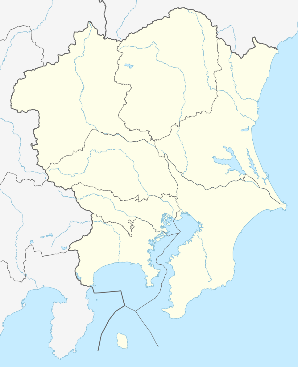
Deutsch: Positionskarte der Region Kantō, Japan (ohne Izu- und Ogasawara-Inseln)
English: Location map of Kantō region, Japan (without Izu and Ogasawara Islands)
|
||||||||||||
| 日期 | |||||||||||||
| 來源 |
個人作品,使用: |
||||||||||||
| 作者 | NordNordWest and OpenStreetMap contributors | ||||||||||||

|
|
授權條款
此檔案採用創用CC 姓名標示-相同方式分享 2.0 通用版授權條款。
- 您可以自由:
- 分享 – 複製、發佈和傳播本作品
- 重新修改 – 創作演繹作品
- 惟需遵照下列條件:
- 姓名標示 – 您必須指名出正確的製作者,和提供授權條款的連結,以及表示是否有對內容上做出變更。您可以用任何合理的方式來行動,但不得以任何方式表明授權條款是對您許可或是由您所使用。
- 相同方式分享 – 如果您利用本素材進行再混合、轉換或創作,您必須基於如同原先的相同或兼容的條款,來分布您的貢獻成品。
檔案歷史
點選日期/時間以檢視該時間的檔案版本。
| 日期/時間 | 縮圖 | 尺寸 | 使用者 | 備註 | |
|---|---|---|---|---|---|
| 目前 | 2015年7月22日 (三) 19:44 | | 966 × 1,187(465 KB) | NordNordWest | == {{int:filedesc}} == {{Information |Description= {{de|1=Positionskarte der Region Kantō, Japan (ohne Izu- und Ogasawara-Inseln)}} {{en|1=Location map of Kantō region, Japan (without Izu and Ogasawara Islands)}} {{Location map series N |stretching=-... |
檔案用途
下列16個頁面有用到此檔案:
全域檔案使用狀況
以下其他 wiki 使用了這個檔案:
- de.wikipedia.org 的使用狀況
- J1 League
- Wikipedia:Kartenwerkstatt/Positionskarten/Asien
- J2 League
- J.League 1993
- J.League 1994
- J.League Division 1 2014
- J.League 1995
- J1 League 2015
- J.League 1996
- Vorlage:Positionskarte Japan Kantō
- J.League 1997
- J1 League 2016
- J2 League 2016
- J3 League 2016
- Japan Football League 2016
- J2 League 2015
- J3 League 2015
- J3 League 2014
- J.League Division 2 2014
- J.League 1998
- J.League Division 1 1999
- J.League Division 1 2000
- J.League Division 1 2001
- J.League Division 1 2002
- J.League Division 1 2003
- J.League Division 1 2004
- J.League Division 1 2005
- J.League Division 1 2006
- J.League Division 1 2007
- J.League Division 1 2008
- J.League Division 1 2009
- J.League Division 1 2010
- J.League Division 1 2011
- J.League Division 1 2012
- J.League Division 1 2013
- J.League Division 2 2013
- J.League Division 2 1999
- J.League Division 2 2000
- J.League Division 2 2001
- J.League Division 2 2002
- J.League Division 2 2003
- J.League Division 2 2004
- J.League Division 2 2005
- J.League Division 2 2006
- J.League Division 2 2007
- J.League Division 2 2008
- J.League Division 2 2009
- J.League Division 2 2010
- J.League Division 2 2011
- J.League Division 2 2012
檢視此檔案的更多全域使用狀況。