
File:Montserrat relief location map.svg

此 SVG 檔案的 PNG 預覽的大小:424 × 600 像素。 其他解析度:170 × 240 像素 | 339 × 480 像素 | 543 × 768 像素 | 724 × 1,024 像素 | 1,448 × 2,048 像素 | 744 × 1,052 像素。
原始檔案 (SVG 檔案,表面大小:744 × 1,052 像素,檔案大小:170 KB)
| 描述 |
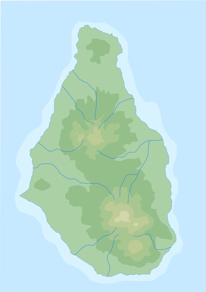
English: Blank physical map of Montserrat for geo-location purpose
Français : Carte physique vierge de Montserrat, destinée à la géolocalisation |
||
| 日期 | (UTC) | ||
| 來源 | Topographic-map-of-Montserrat-en.svg | ||
| 作者 | |||
| SVG開發 | 本vector image使用Inkscape創作,或使用了其他工具。
|
我,本作品的著作權持有者,決定用以下授權條款發佈本作品:
| 我,此作品的版權所有人,釋出此作品至公共領域。此授權條款在全世界均適用。 這可能在某些國家不合法,如果是的話: 我授予任何人有權利使用此作品於任何用途,除受法律約束外,不受任何限制。 |
原始上傳日誌
This image is a derivative work of the following images:
Topographic-map-of-Montserrat-en.svg licensed with PD-self Ivan25
Uploaded with derivativeFX
檔案歷史
點選日期/時間以檢視該時間的檔案版本。
| 日期/時間 | 縮圖 | 尺寸 | 使用者 | 備註 | |
|---|---|---|---|---|---|
| 目前 | 2010年8月2日 (一) 15:33 | | 744 × 1,052(170 KB) | Xfigpower | {{Information |Description={{en|1=Blank physical map of Montserrat for geo-location purpose}} {{fr|1=Carte physique vierge de Montserrat , destinée à la géolocalisation}} |Source=*[[:File:Topographic-map-of-Mont |
檔案用途
全域檔案使用狀況
以下其他 wiki 使用了這個檔案:
- ar.wikipedia.org 的使用狀況
- ast.wikipedia.org 的使用狀況
- ba.wikipedia.org 的使用狀況
- be-tarask.wikipedia.org 的使用狀況
- bg.wikipedia.org 的使用狀況
- bs.wikipedia.org 的使用狀況
- ceb.wikipedia.org 的使用狀況
- cs.wikipedia.org 的使用狀況
- de.wikipedia.org 的使用狀況
- de.wikivoyage.org 的使用狀況
- en.wikipedia.org 的使用狀況
- eo.wikipedia.org 的使用狀況
- es.wikipedia.org 的使用狀況
- fa.wikipedia.org 的使用狀況
- fi.wikipedia.org 的使用狀況
- frr.wikipedia.org 的使用狀況
- fr.wikipedia.org 的使用狀況
- he.wikipedia.org 的使用狀況
- it.wikipedia.org 的使用狀況
- it.wikivoyage.org 的使用狀況
- ja.wikipedia.org 的使用狀況
檢視此檔案的更多全域使用狀況。