
File:Pays de la Loire region location map.svg

此 SVG 檔案的 PNG 預覽的大小:619 × 599 像素。 其他解析度:248 × 240 像素 | 496 × 480 像素 | 793 × 768 像素 | 1,058 × 1,024 像素 | 2,115 × 2,048 像素 | 1,546 × 1,497 像素。
原始檔案 (SVG 檔案,表面大小:1,546 × 1,497 像素,檔案大小:771 KB)
摘要
| 描述 |
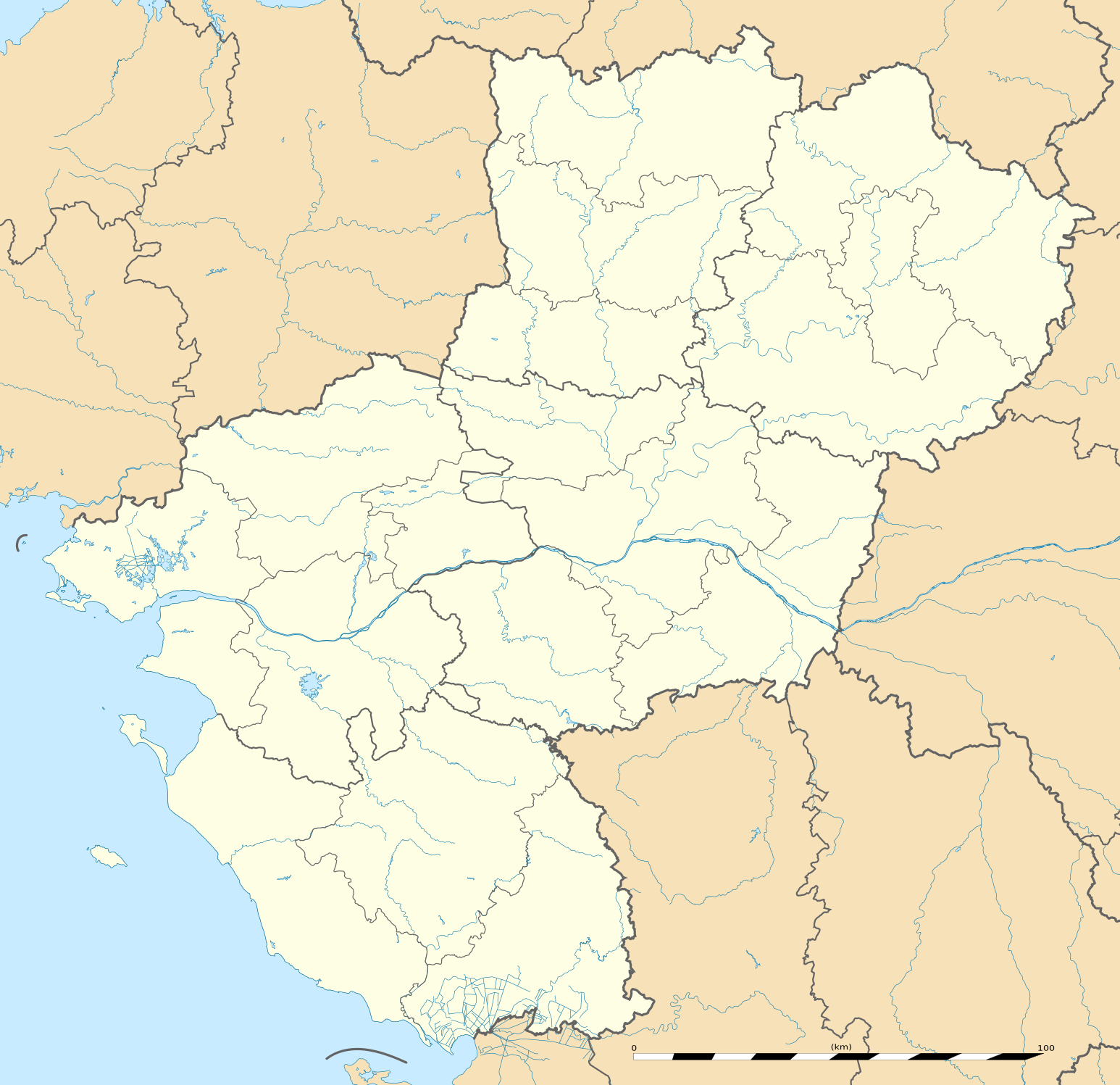
English: Blank administrative map of the region of Pays de la Loire, France, as in February 2011, for geo-location purpose, with distinct boundaries for regions, departments and arrondissements.
Français : Carte administrative vierge de la région des Pays de la Loire, France, telle qu'en février 2011, destinée à la géolocalisation, avec limite distincte des régions, départements et arrondissements. Estimated scale: 1:720,000 (precision: 180 m)
Geographic limits of the map:
|
||
| 日期 | |||
| 來源 |
自己的作品
|
||
| 作者 | Eric Gaba (Sting - fr:Sting) | ||
| 授權許可 (重用此檔案) |
|
||
| 其他版本 |
|

| 拍攝地點 | | 位於此地的本圖片與其他圖片: OpenStreetMap |
|---|
授權條款
Eric Gaba, Wikimedia Commons user Sting,此作品的版權所有人,決定用以下授權條款發佈本作品:
此檔案採用創用CC 姓名標示-相同方式分享 3.0 未在地化版本授權條款。
姓名標示: Eric Gaba, Wikimedia Commons user Sting
- 您可以自由:
- 分享 – 複製、發佈和傳播本作品
- 重新修改 – 創作演繹作品
- 惟需遵照下列條件:
- 姓名標示 – 您必須指名出正確的製作者,和提供授權條款的連結,以及表示是否有對內容上做出變更。您可以用任何合理的方式來行動,但不得以任何方式表明授權條款是對您許可或是由您所使用。
- 相同方式分享 – 如果您利用本素材進行再混合、轉換或創作,您必須基於如同原先的相同或兼容的條款,來分布您的貢獻成品。
檔案歷史
點選日期/時間以檢視該時間的檔案版本。
| 日期/時間 | 縮圖 | 尺寸 | 使用者 | 備註 | |
|---|---|---|---|---|---|
| 目前 | 2011年3月2日 (三) 13:51 | | 1,546 × 1,497(771 KB) | Sting | == {{int:filedesc}} == {{Information |Description={{en|Blank administrative map of the region of Pays de la Loire, France, as in February 2011, for geo-location purpose, with distinct boundaries for regions, departments and arrond |
檔案用途
全域檔案使用狀況
以下其他 wiki 使用了這個檔案:
- als.wikipedia.org 的使用狀況
- ar.wikipedia.org 的使用狀況
- azb.wikipedia.org 的使用狀況
- bg.wikipedia.org 的使用狀況
- bn.wikipedia.org 的使用狀況
- ceb.wikipedia.org 的使用狀況
- cy.wikipedia.org 的使用狀況
- de.wikipedia.org 的使用狀況
- el.wikipedia.org 的使用狀況
- en.wikipedia.org 的使用狀況
- Le Mans
- Nantes
- Saumur
- Angers
- Doué-la-Fontaine
- La Baule-Escoublac
- Saint-Nazaire
- Gennes, Maine-et-Loire
- Laval, Mayenne
- La Roche-sur-Yon
- Île d'Yeu
- Châteaubriant
- Noirmoutier-en-l'Île
- Mayenne (commune)
- Solesmes, Sarthe
- Savennières
- Les Sables-d'Olonne
- Fontenay-le-Comte
- Sucé-sur-Erdre
- Nesmy
- Ancenis
- Bouguenais
- Champagné, Sarthe
- Vue, Loire-Atlantique
- Nantes Atlantique Airport
- Cholet
- Le Puy-Notre-Dame
- Saint-Hilaire-de-Loulay
檢視此檔案的更多全域使用狀況。