
File:Punjab locator map.svg

此 SVG 檔案的 PNG 預覽的大小:556 × 599 像素。 其他解析度:223 × 240 像素 | 445 × 480 像素 | 713 × 768 像素 | 950 × 1,024 像素 | 1,901 × 2,048 像素 | 955 × 1,029 像素。
原始檔案 (SVG 檔案,表面大小:955 × 1,029 像素,檔案大小:174 KB)

|
這張圖片需要更新,因為:Newly-created Fazilka district needs to be accommodated在這樣做的時候,您可以為該圖片加入時間戳。
|
| 標題 |
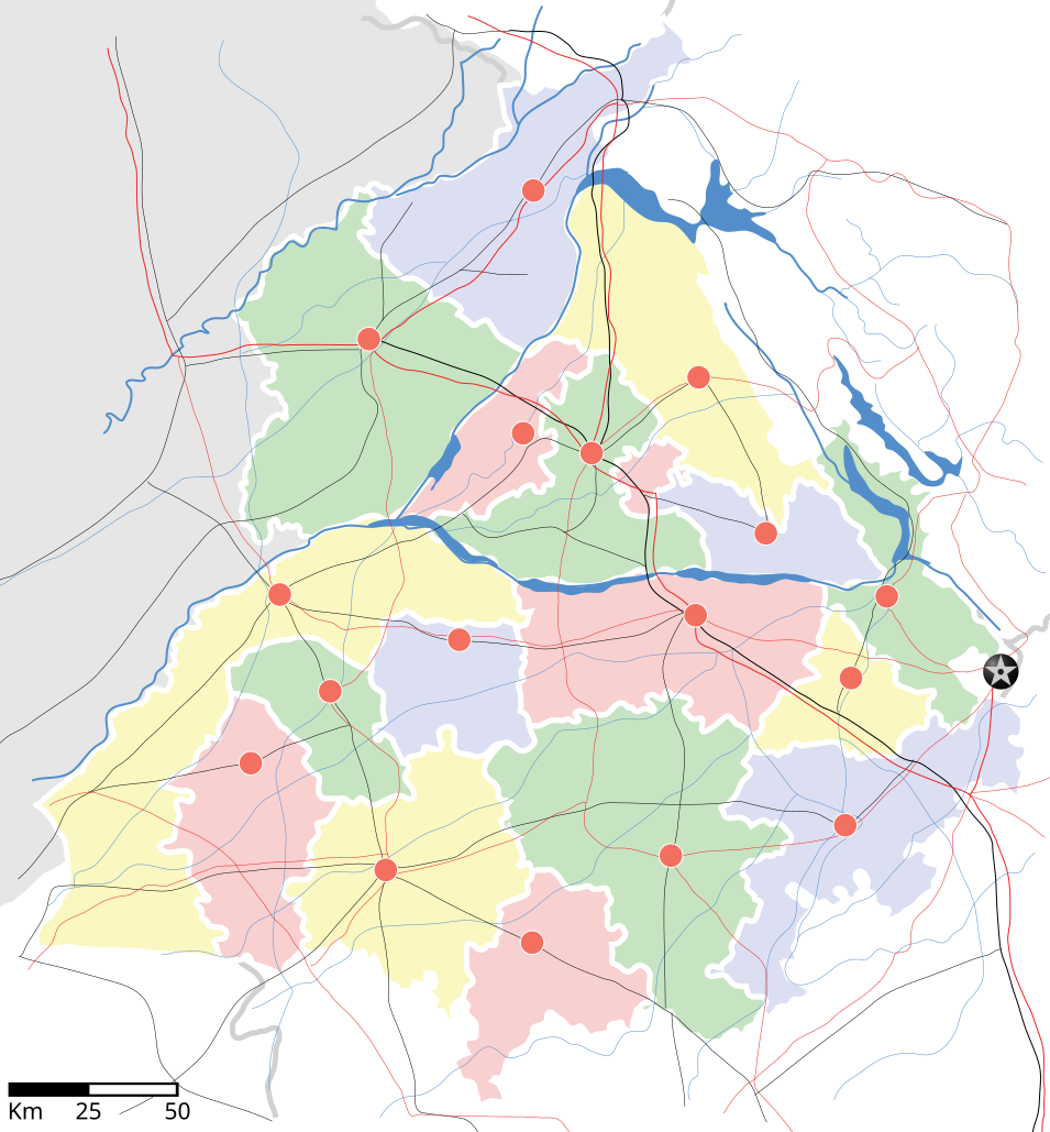
Punjab locator map |
||
| 描寫 | |||
| 日期 | |||
| 來源 |
自己的作品 |
||
| 創作作者 |
|
||
| 授權許可 (重用此檔案) |
我,本作品的著作權持有者,決定用以下授權條款發佈本作品: 此檔案採用創用CC 姓名標示-相同方式分享 3.0 未在地化版本授權條款。
|
||
| Geotemporal data | |||
| 描繪日期 | 20世紀下半期和21世紀 | ||
| 地理參考 | 如果不合適,請設定「warp_status = skip」為隱藏。 | ||
| Archival data | |||
| 備註 | Part of WikiProject India Maps | ||
derivative works
Derivative works of this file: Districts of Punjab, India.svg
檔案歷史
點選日期/時間以檢視該時間的檔案版本。
| 日期/時間 | 縮圖 | 尺寸 | 使用者 | 備註 | |
|---|---|---|---|---|---|
| 目前 | 2007年4月25日 (三) 18:27 | | 955 × 1,029(174 KB) | Planemad | reupload, forgot crop |
| 2007年4月25日 (三) 18:25 |  | 2,393 × 1,956(188 KB) | Planemad | {{WikiProject_India_Maps |Title=Punjab locator map |Description=Locator map of the state of w:Punjab, India with district boundaries, major highways, railways and water bodies. |Source=[www.punjabtourism.org/tt_maps.php Punjab Tourism - Ma |
檔案用途
下列22個頁面有用到此檔案:
全域檔案使用狀況
以下其他 wiki 使用了這個檔案:
- ar.wikipedia.org 的使用狀況
- ast.wikipedia.org 的使用狀況
- as.wikipedia.org 的使用狀況
- awa.wikipedia.org 的使用狀況
- bh.wikipedia.org 的使用狀況
- bn.wikipedia.org 的使用狀況
- ca.wikipedia.org 的使用狀況
- ceb.wikipedia.org 的使用狀況
- ckb.wikipedia.org 的使用狀況
- de.wikipedia.org 的使用狀況
- dty.wikipedia.org 的使用狀況
- el.wikipedia.org 的使用狀況
- eo.wikipedia.org 的使用狀況
- es.wikipedia.org 的使用狀況
- eu.wikipedia.org 的使用狀況
- fa.wikipedia.org 的使用狀況
- fr.wikipedia.org 的使用狀況
- hi.wikipedia.org 的使用狀況
- फिल्लौर
- साँचा:पंजाब के लोकसभा निर्वाचन क्षेत्र
- संगरूर लोक सभा निर्वाचन क्षेत्र
- अमृतसर लोक सभा निर्वाचन क्षेत्र
- भटिंडा लोक सभा निर्वाचन क्षेत्र
- फरीदकोट लोक सभा निर्वाचन क्षेत्र
- फतेहगढ़ साहिब लोक सभा निर्वाचन क्षेत्र
- आनंदपुर साहिब लोक सभा निर्वाचन क्षेत्र
- फिरोजपुर लोक सभा निर्वाचन क्षेत्र
- गुरदासपुर लोक सभा निर्वाचन क्षेत्र
- होशियारपुर लोक सभा निर्वाचन क्षेत्र
- जलंधर लोक सभा निर्वाचन क्षेत्र
- खडूर साहिब लोक सभा निर्वाचन क्षेत्र
- लुधियाना लोक सभा निर्वाचन क्षेत्र
- पटियाला लोक सभा निर्वाचन क्षेत्र
- थरियाल
- माधोपुर, पंजाब
- hu.wikipedia.org 的使用狀況
- hy.wikipedia.org 的使用狀況
- id.wikipedia.org 的使用狀況
- ja.wikipedia.org 的使用狀況
- kn.wikipedia.org 的使用狀況
- mai.wikipedia.org 的使用狀況
- mg.wikipedia.org 的使用狀況
- ml.wikipedia.org 的使用狀況
檢視此檔案的更多全域使用狀況。